
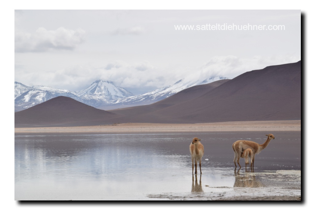
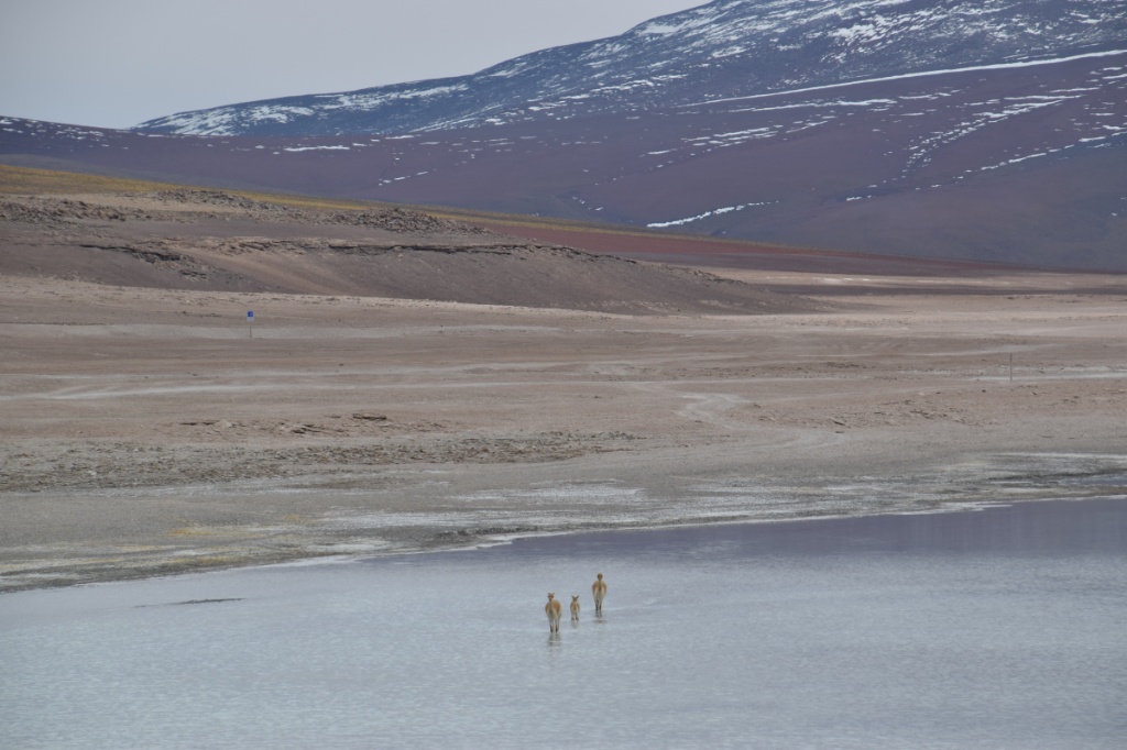
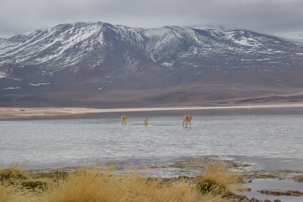
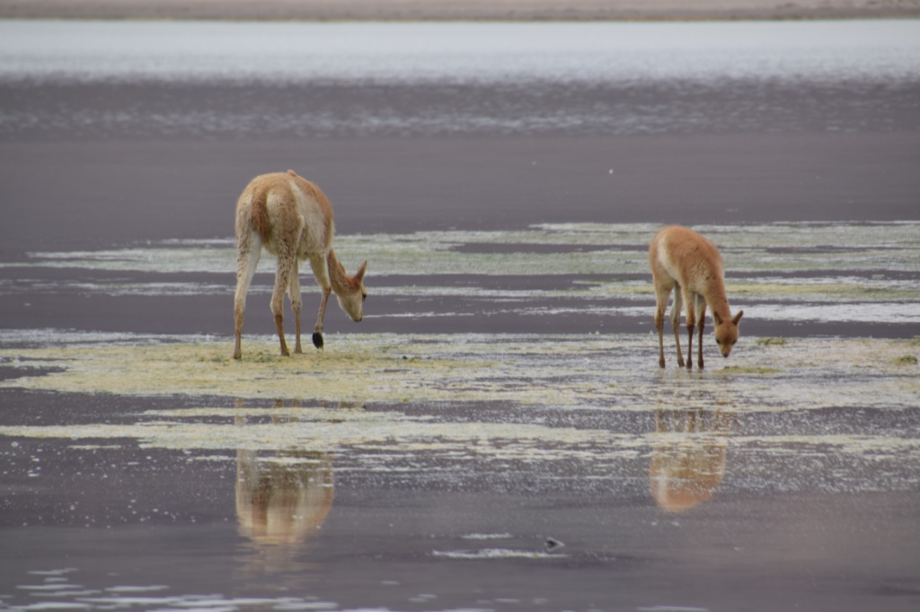
Laguna Blanca, 11 April 2015: Guanacos

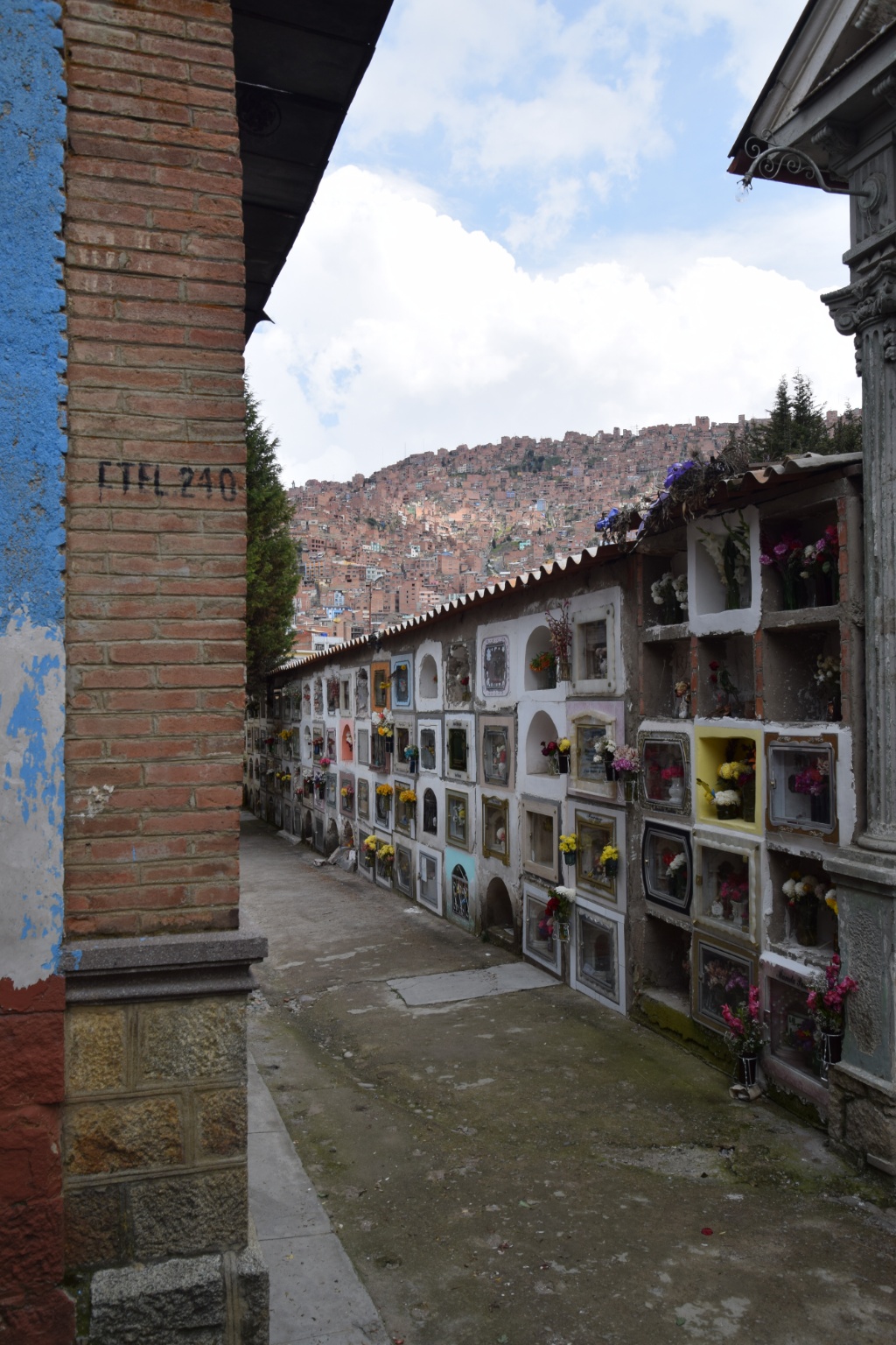
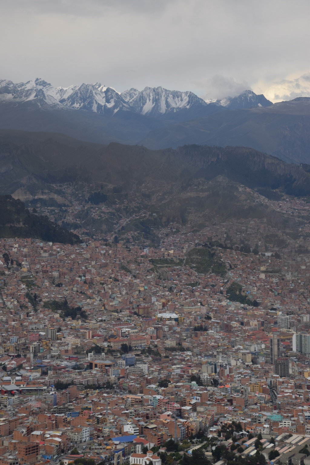
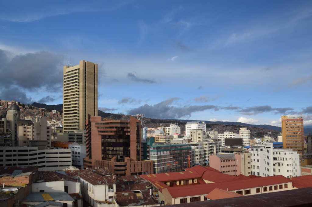
La Paz is high, very high. The rich southern suburbs are on 3200 m while El Alto, which became an independent city in 1985, is situated on 4100 m. El Alto’s (mainly indigenous) inhabitants cannot afford to live in the lower, “warmer” parts of La Paz. Because of the upland region it is rather cold. At this time of the year the temperature in El Alto ranges between an average high of 14° C and a low of 2° C. The highest average is 4-15°C! La Paz’s average maximum is between 6-19°C. The lower, the warmer – and the wealthier.
So I had to unpack my long John’s once again. They, however, had surrendered a while ago in that the elastic waistband gave up so that I had to tuck them into my trousers, a baggy pant effect was nevertheless to occur soon thereafter…
La Paz is a very vibrant city and Laura and I decided to celebrate the last night before she left, a Thursday. The only parties outside a weekend take place at the party hostels. So we joined the Loki crowd at midnight. The quick consumption of beer didn’t quite help to make us feel less like grandmothers. In spite of that and the terrible music (90s boy group songs!!) we hit the dancefloor. But La Paz teaches you to dance slow! Jumping up and down three times made my lungs burst! This close to the sky it’s simply hard to breathe!
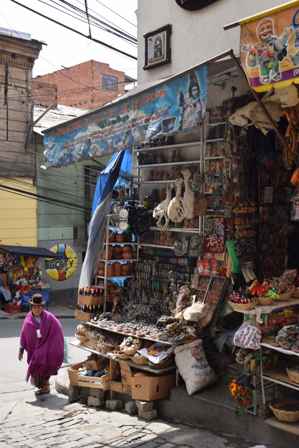
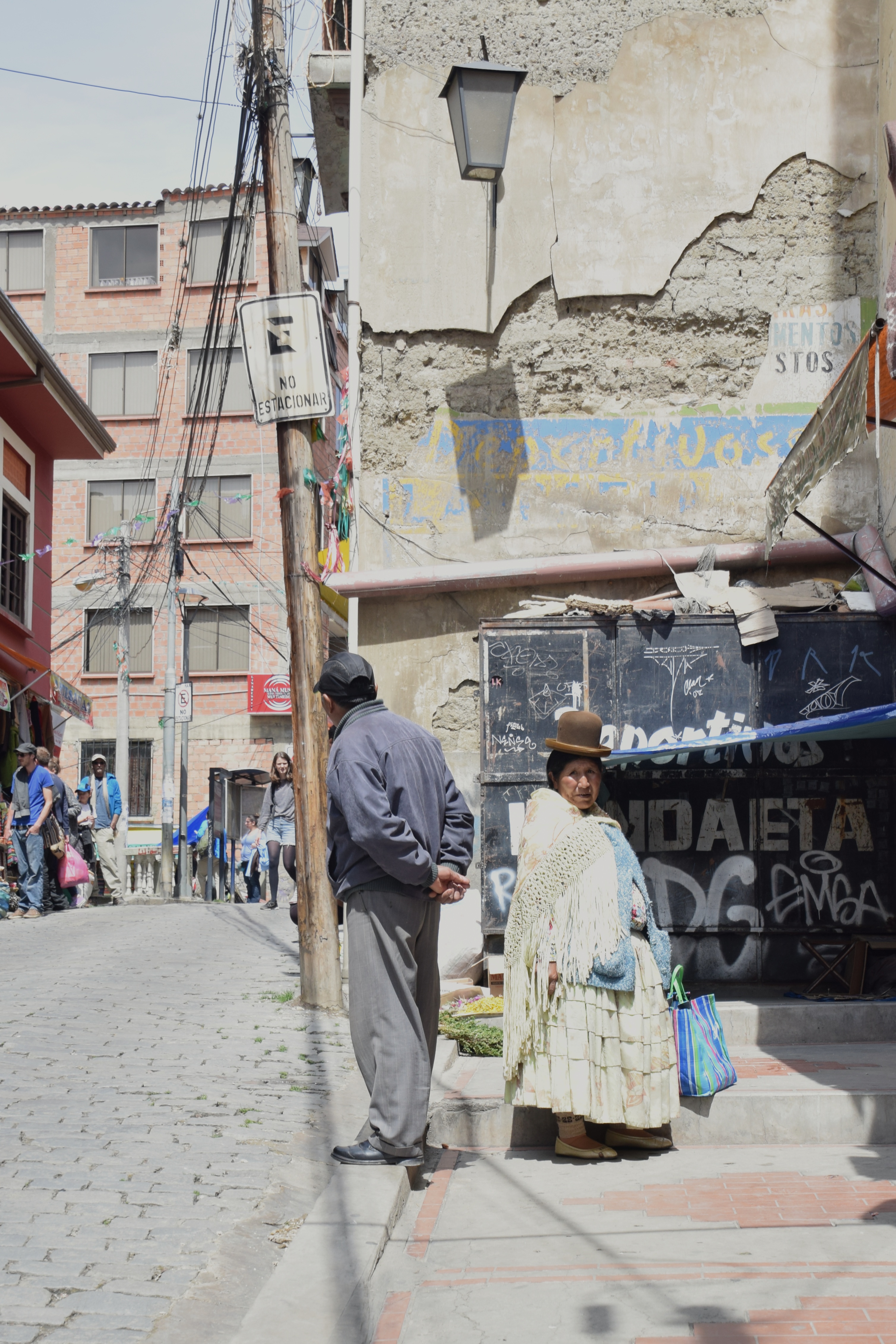
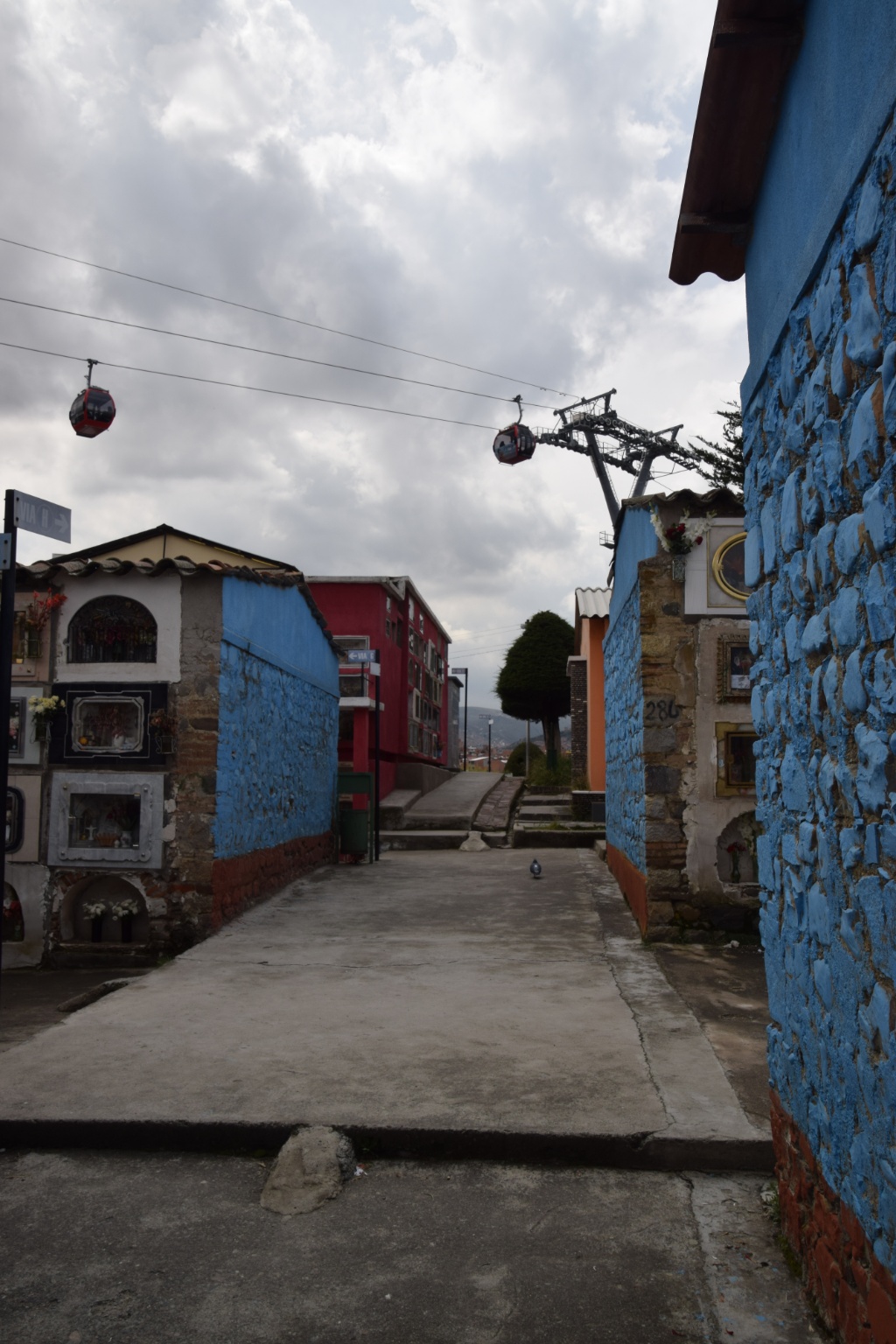
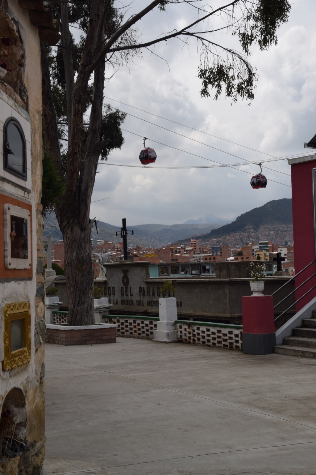
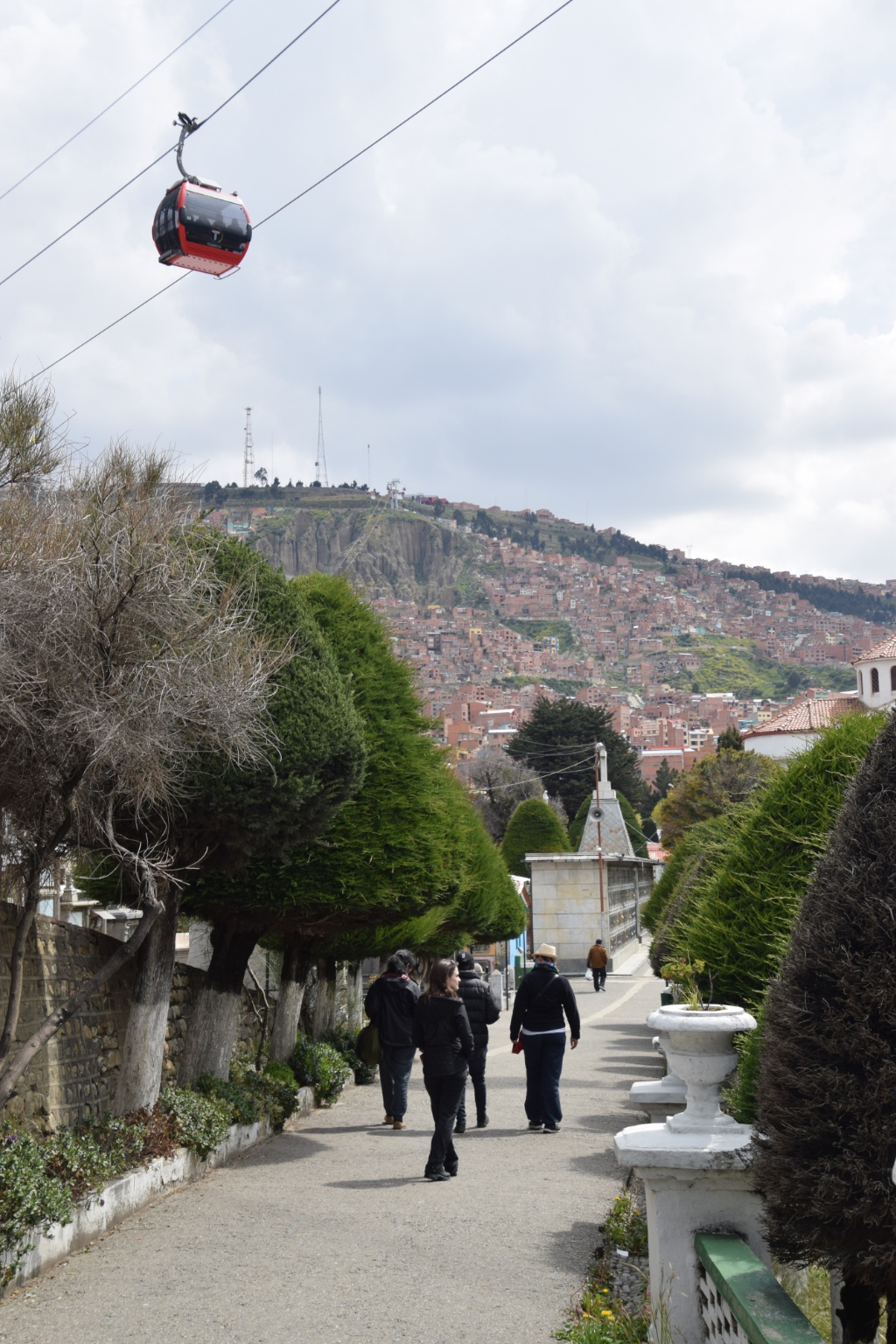
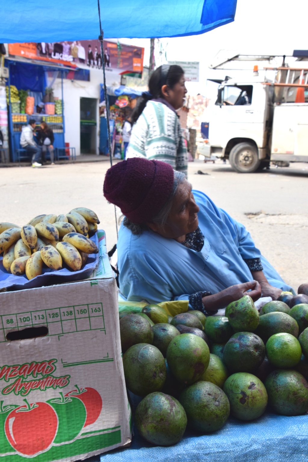
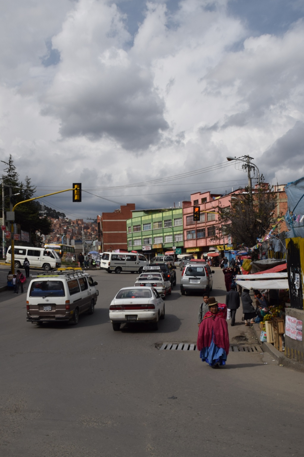
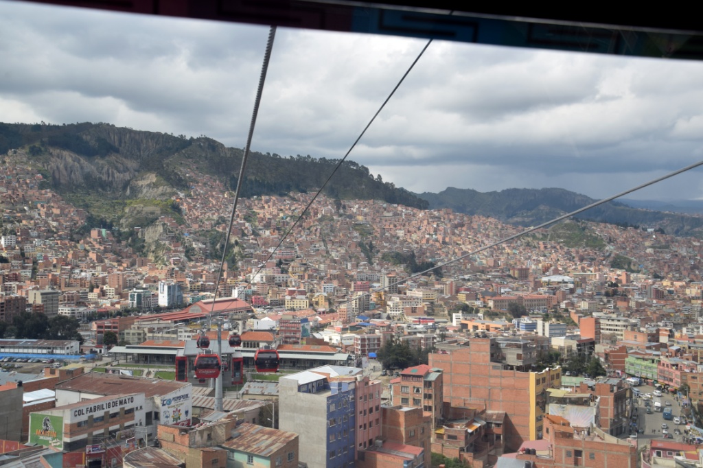
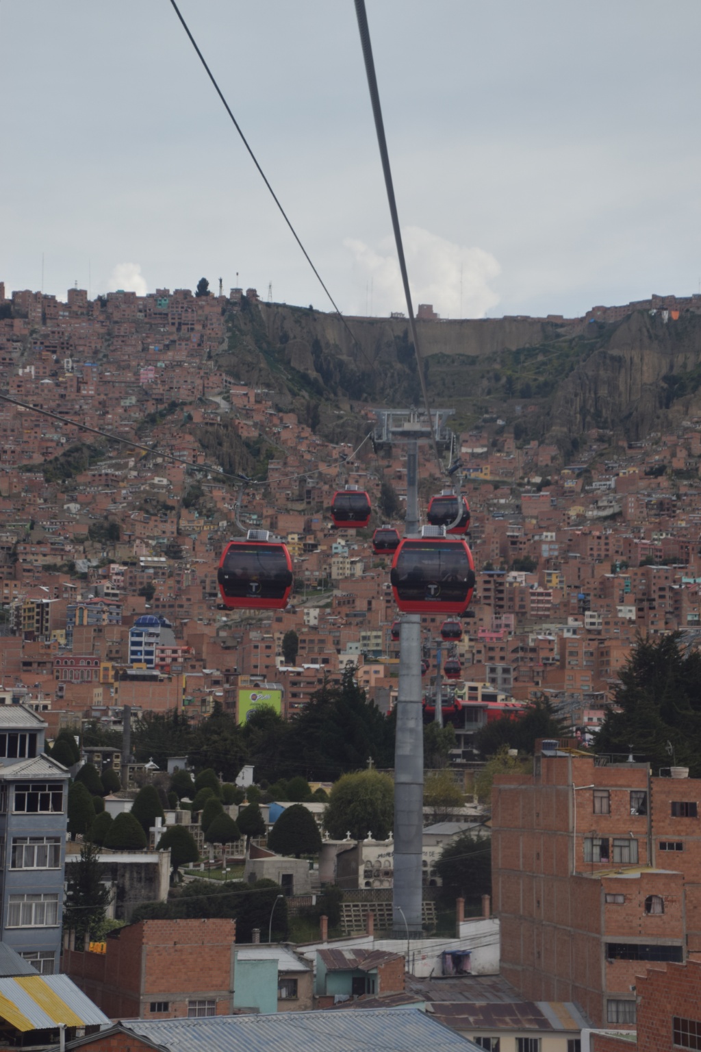
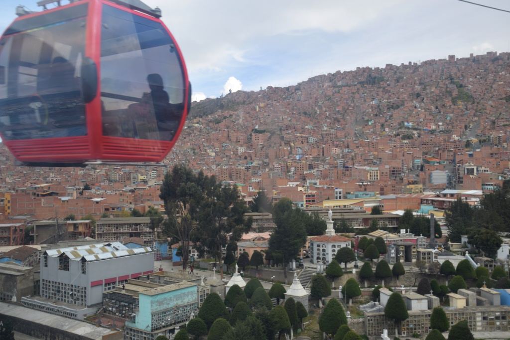
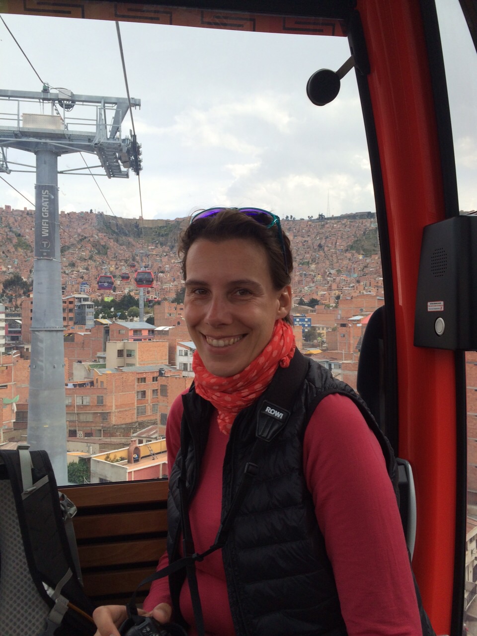
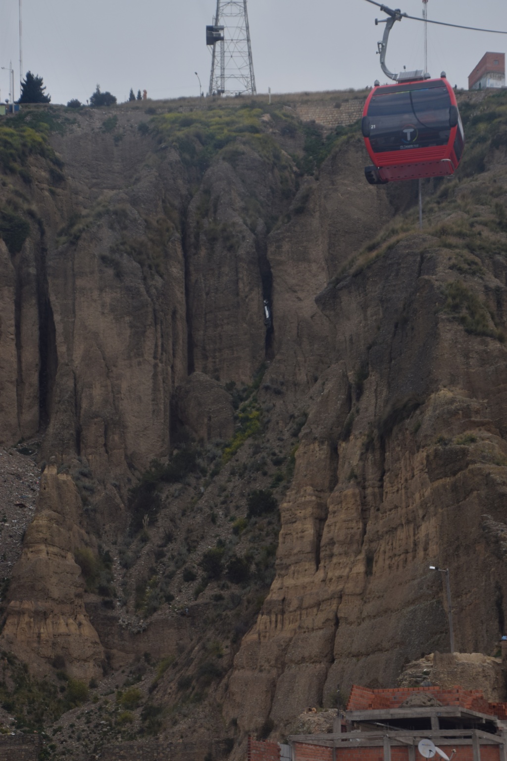
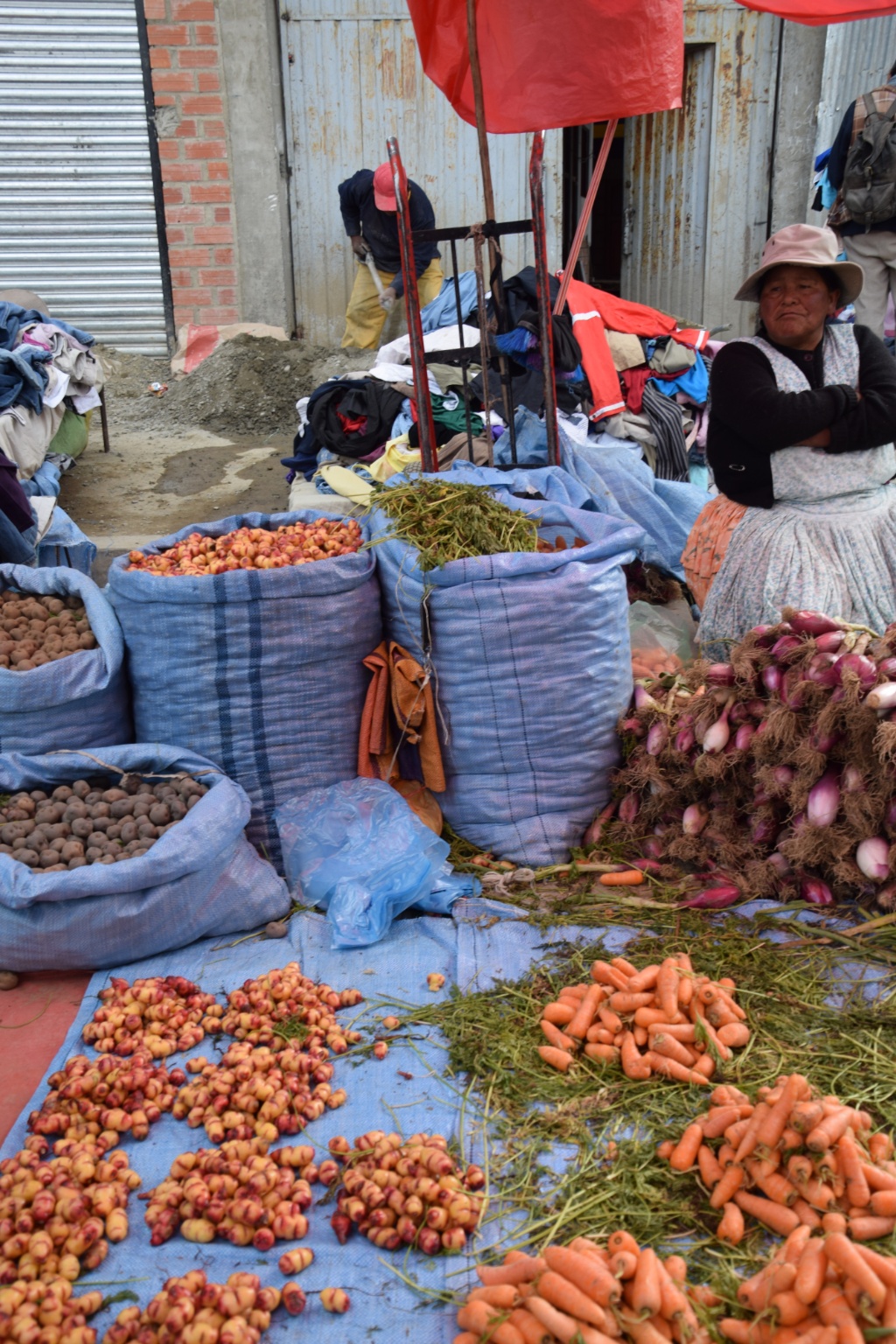
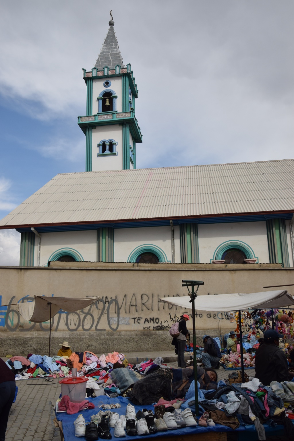
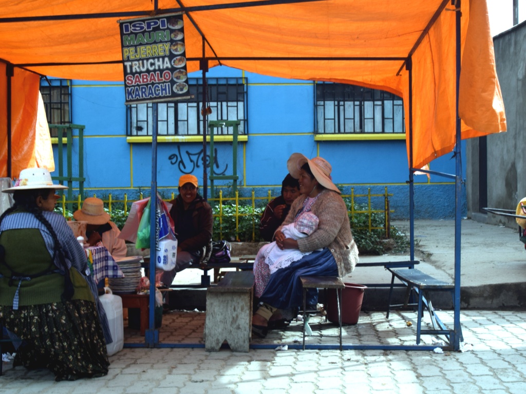
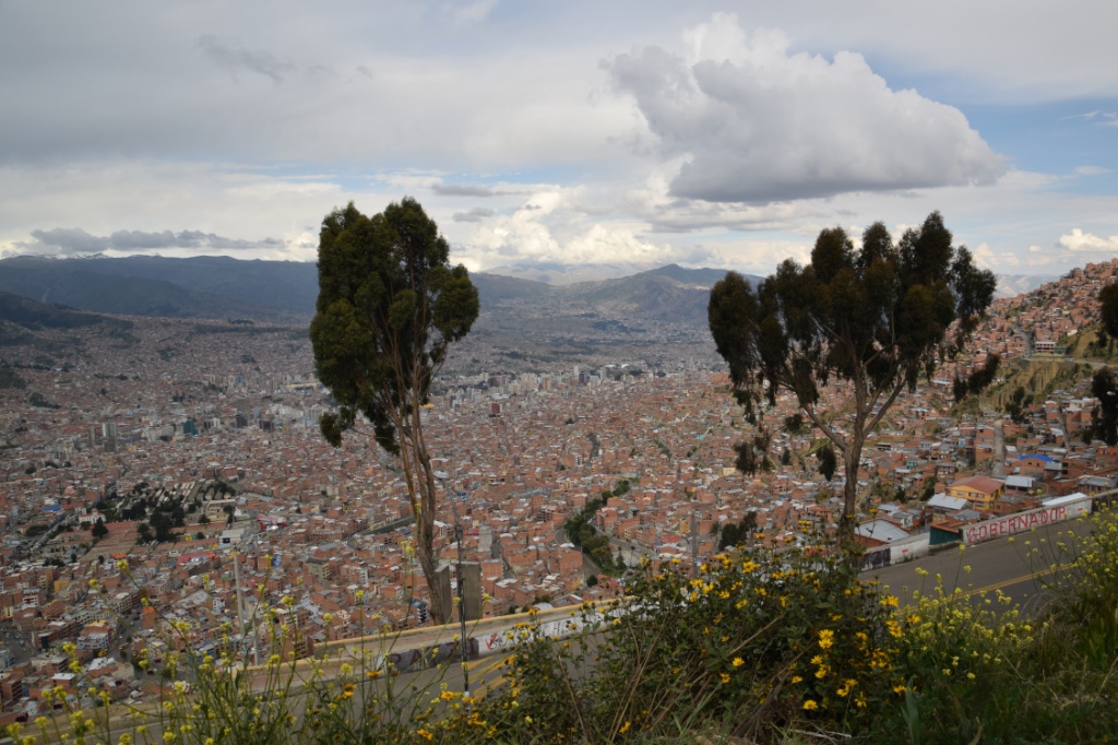
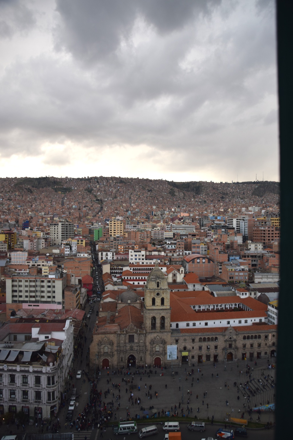
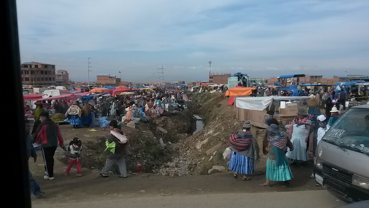
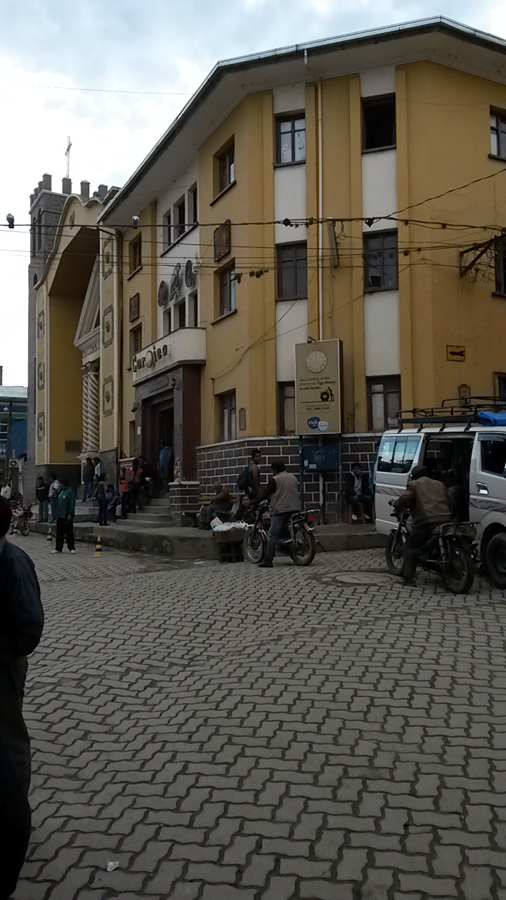
During the day we had toured the city center and El Alto with Red Cap Walking tours, a great experience! The newest coup of president Evo Morales is the construction of three cable cars (the red, the yellow and the green one, following the colours of Bolivia’s official flag). Swiss-made, of course. They were finished in the past 3-9 months and not only provide great views, but most of all a very fast means to travel between La Paz and El Alto. The traffic is bad. And because the city is situated within a basin the streets wind up in serpentines and there are places in which it is impossible to build a street at all. The Cable cars not only reduce traffic, but also help El Alto inhabitants to commute to and from the south, where many work as househelps, much faster.
Bolivians are very proud of the (alledged) fact that they have the largest percentage of indigenous people in all of South America. But their Aymara president seems to be a lot less popular than 12 years ago when he first came into power, despite of all the social programs that he introduced. Possibly because he decided that he needed his own presidential plane. Or because of the immense corruption that still dictates everyday life. Or the general alcohol and drug problems. Or the strong bonds with Venezuela and Cuba. Or the concentration of power and strong doubts with regard to his victory in the last elections. Or maybe even because of the fact that Morales became an active professional football player in 2014, playing in Bolivia’s first league – aside from his easy-peasy job as president.
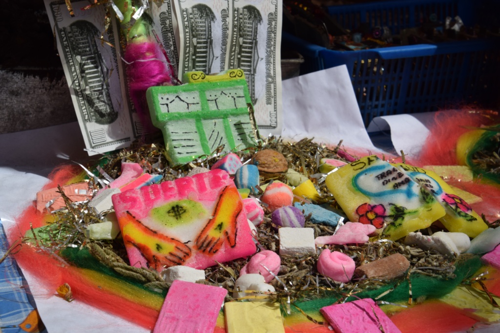
I don’t think that this is the reason why Bolivians appear unfriendly and unhappy, though. Unlike all their neighbours they rarely smile or laugh. They come along as arrogant and contemptuous. I was almost relieved to see them gather around the street comedian at Plaza de San Francisco and to actually hear and see them laugh!
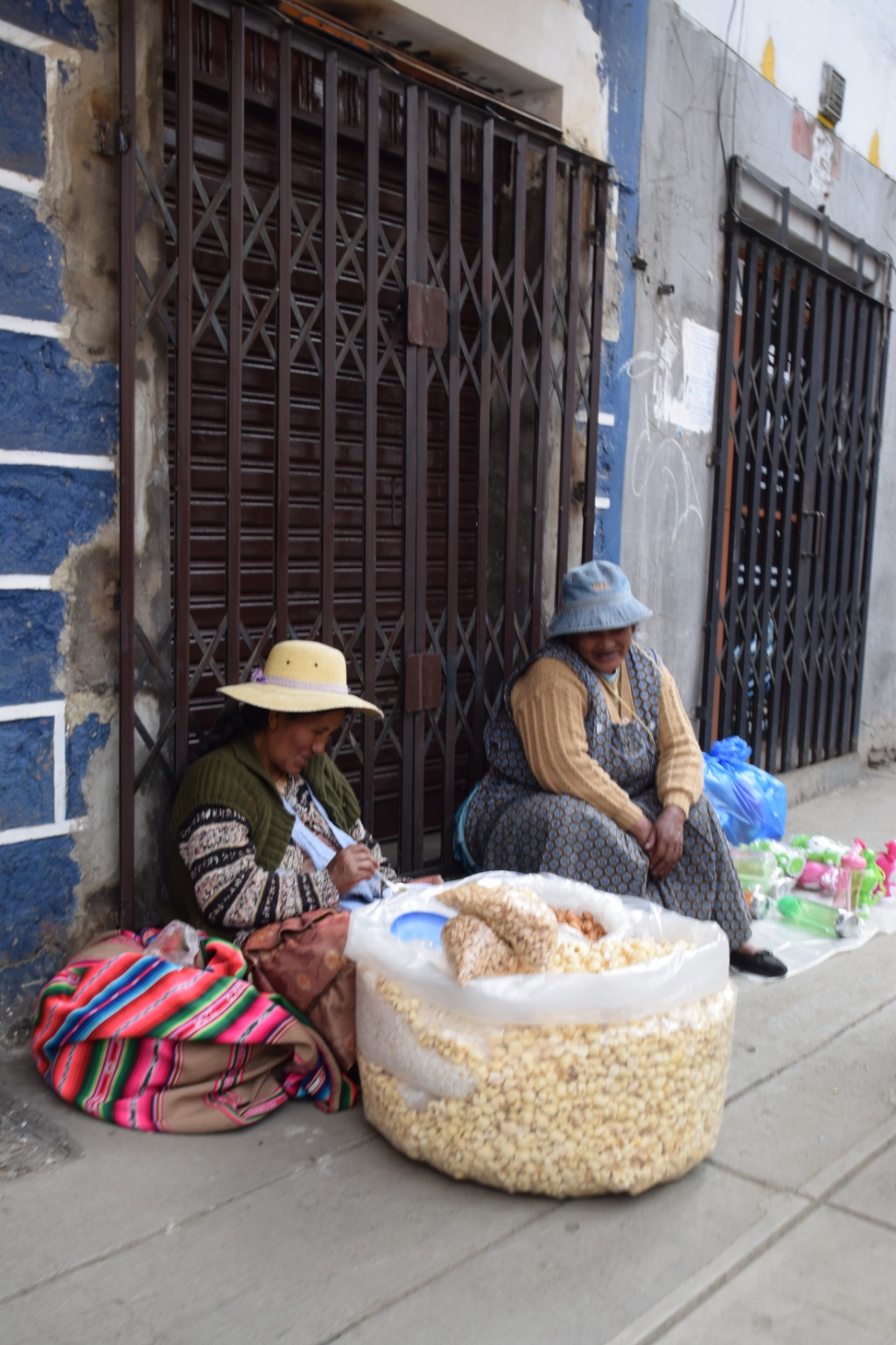
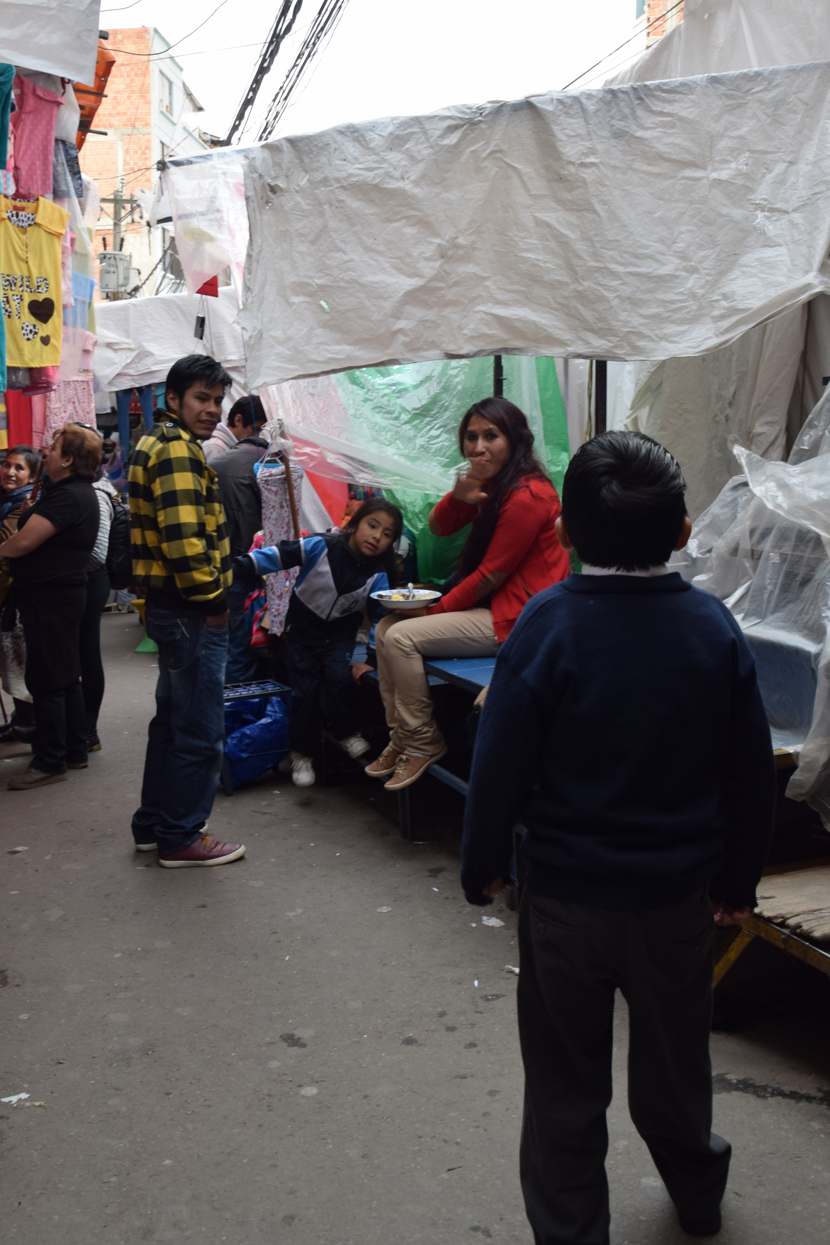
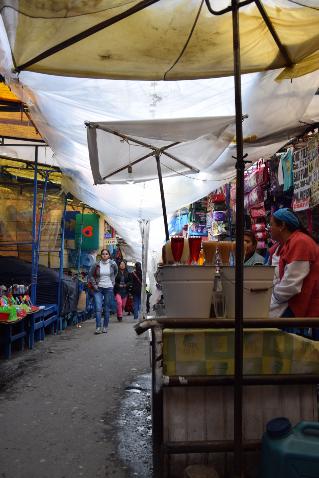
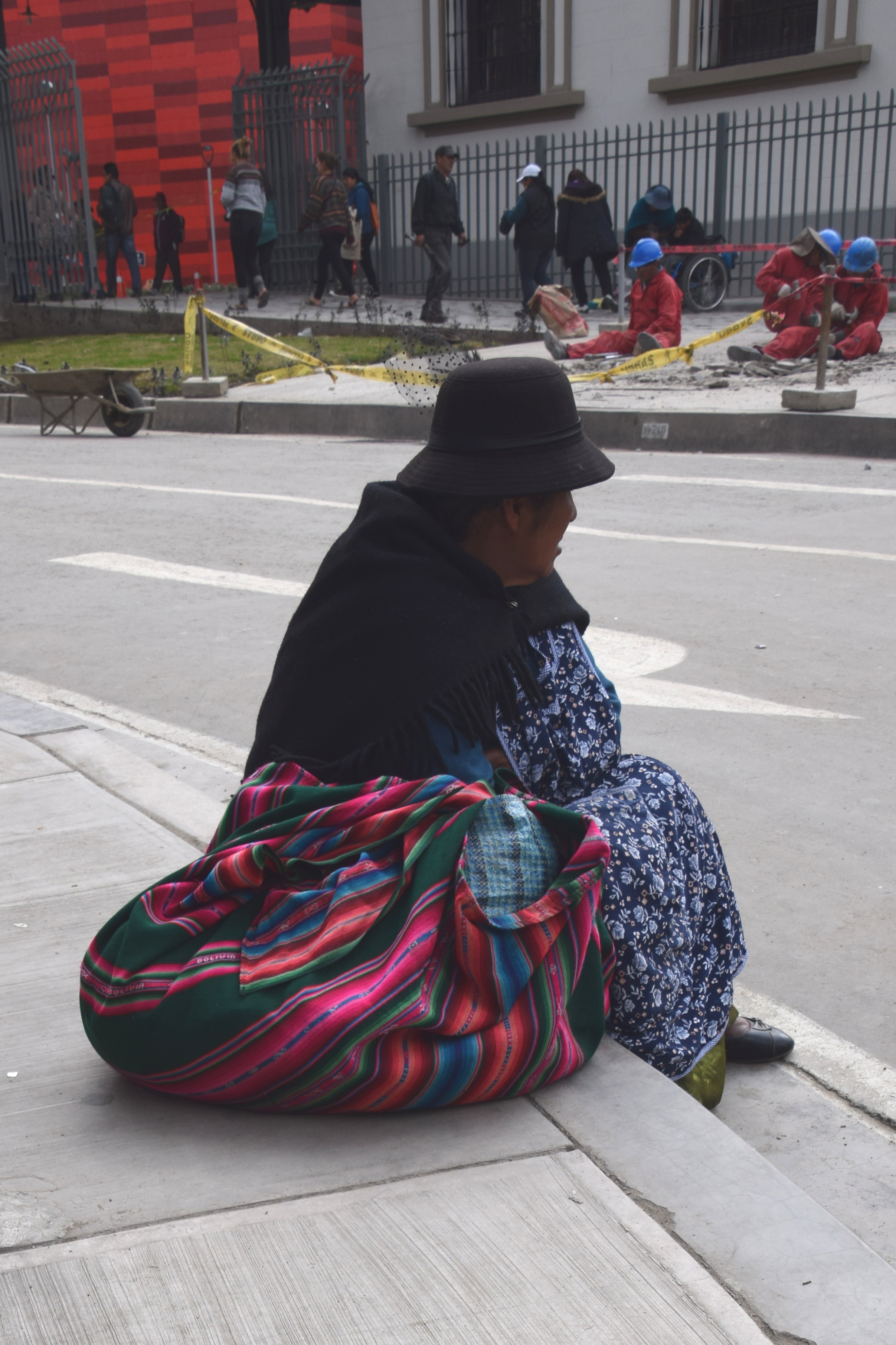
Here are some photos taken during the walking tour:


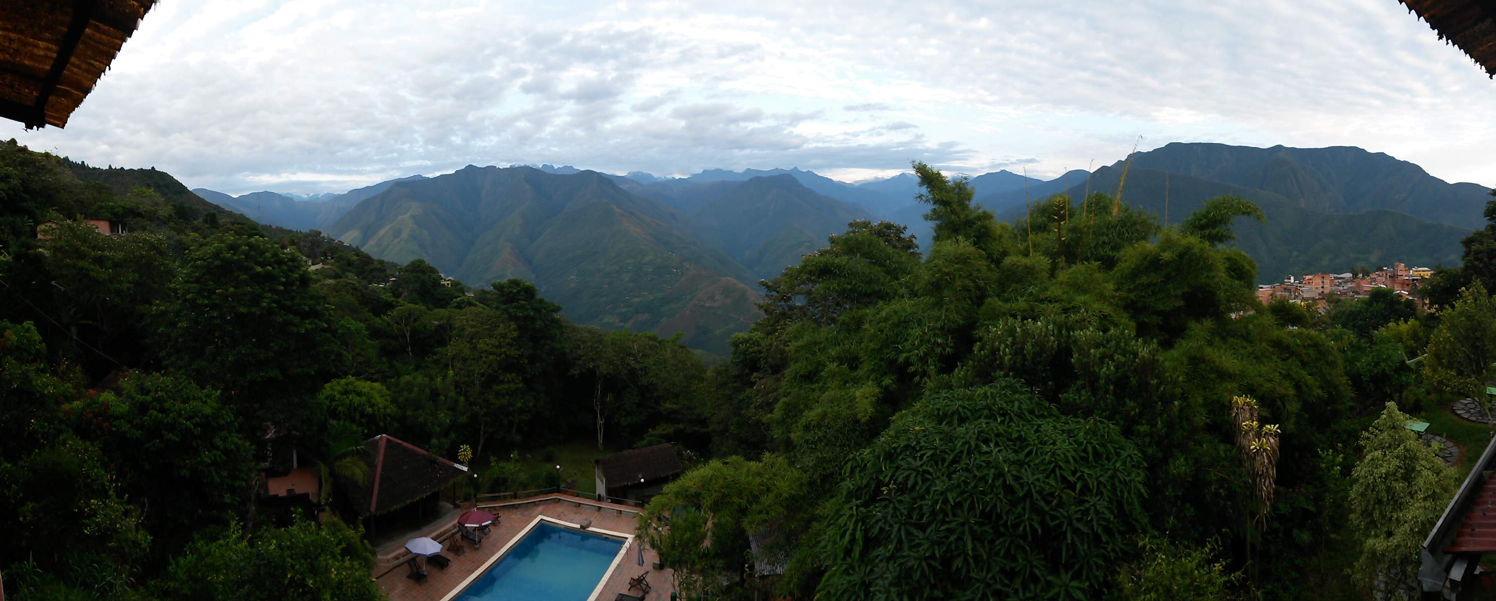
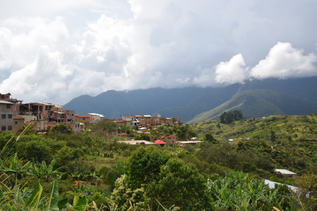
A surprisingly comfortable night bus brought us to La Paz and we escaped the city straight away by taking a Minibus down to Coroico. Within 1.5 hours you drop 3500m down (Coroico is on 1700m), and from temperatures close to zero (on the pass) to more pleasant 28° C. Can you imagine the dramatic change of scenery from snowcapped mountains to jungle green!?!

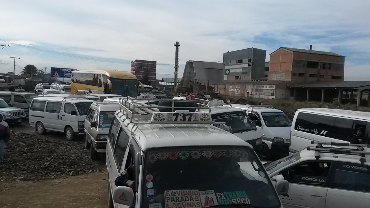
 I’m glad I did not take a bycicle down the famous death road, though. It was scary enough to watch the cyclists from the car. But local transport isn’t necessarily a safer option. On our way back up, three days later, we saw a Minibus that went over the edge. Luckily it got stuck in some bushes on the steep slope. The locals in our car said it happens frequently because the drivers fall asleep…
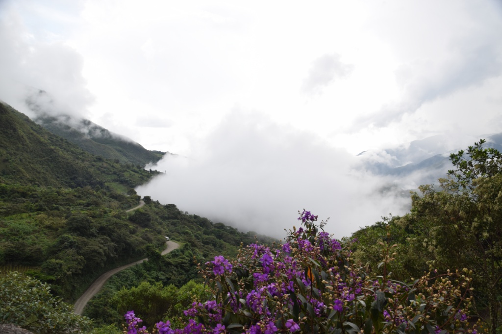
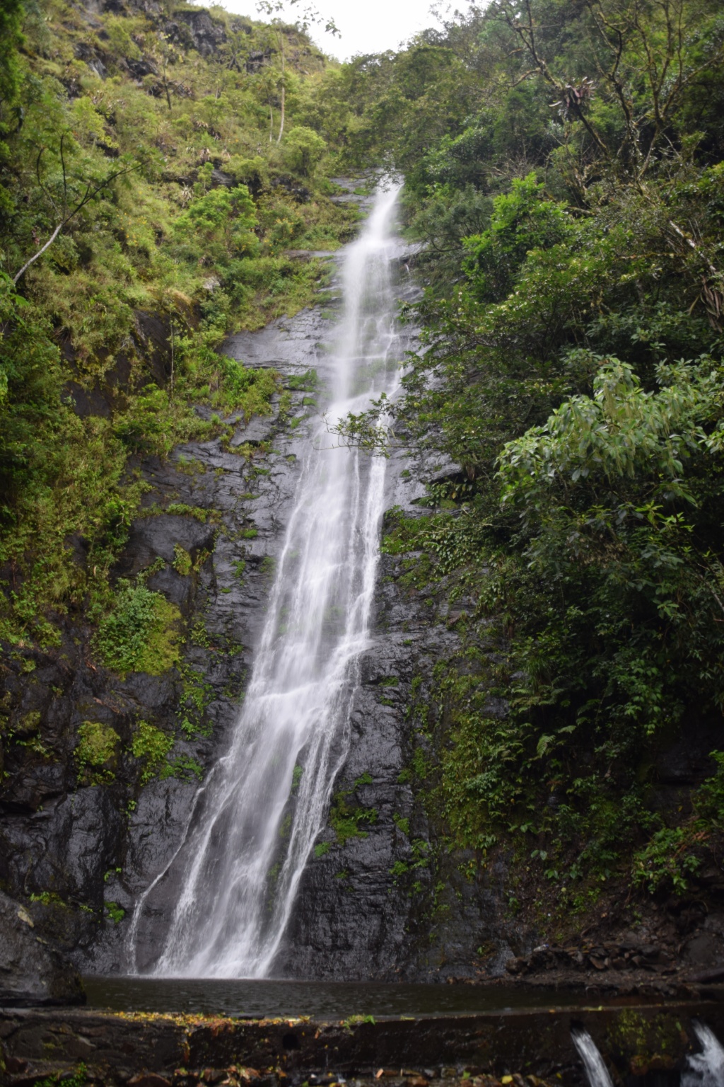
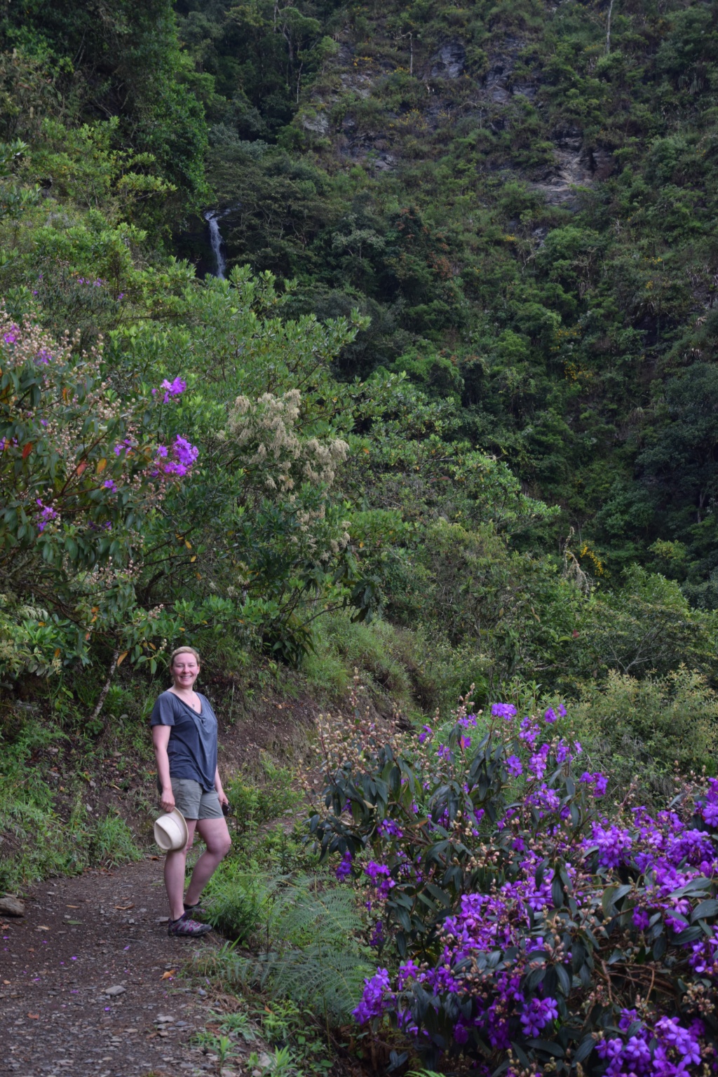
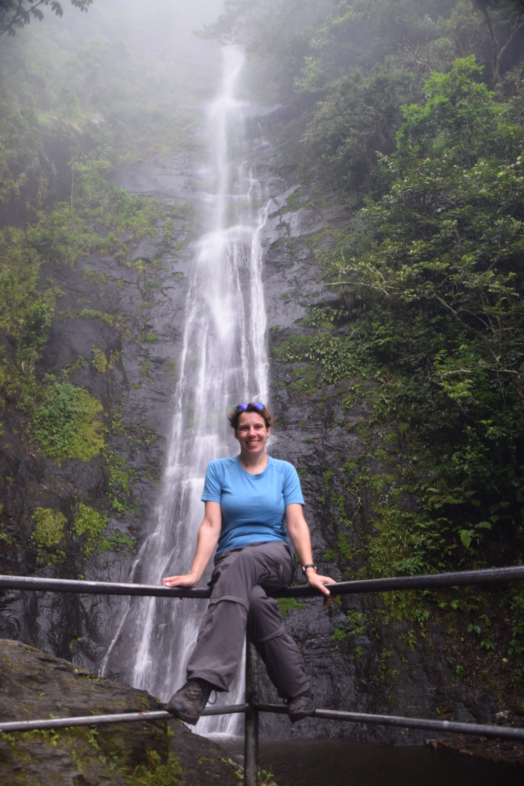
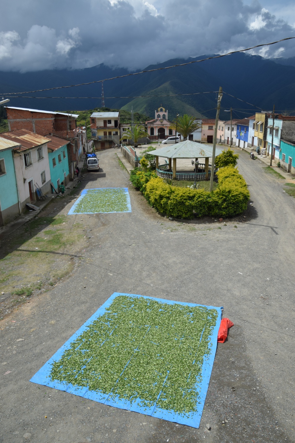
We came to the so called Yungas with the intention to digest the overflow of impressions gathered on the past the days on our tour to Uyuni, but where overwhelmed with yet more impressions. Hotel Esmeralda was just the right spot for that task: a room with a view, a pool and sunshine.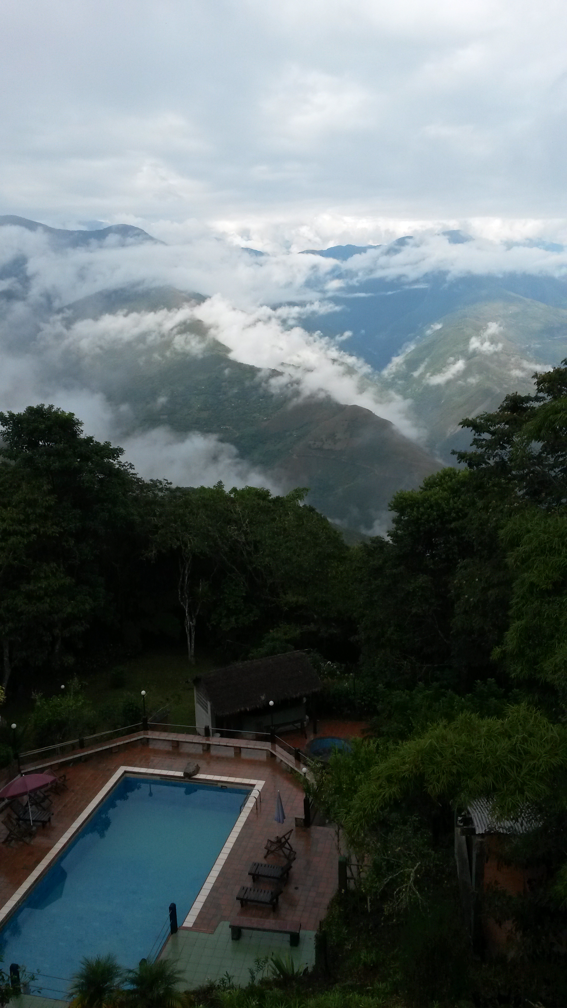
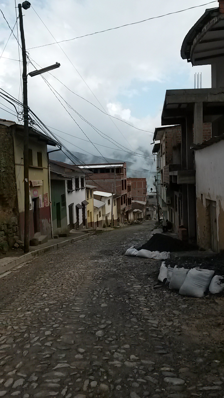

On day two, though, we got restless and went for a ride with a local collectivo to a beautiful waterfall from where we walked back to town.


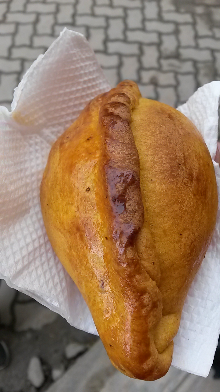
Backpacker-schlepp… 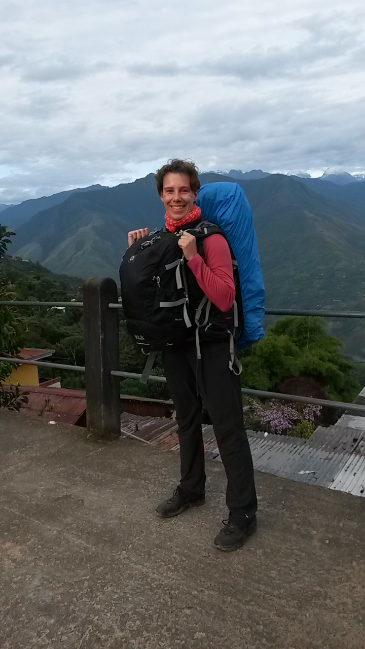 deserved streetfood for breakfast: mini Empanadas

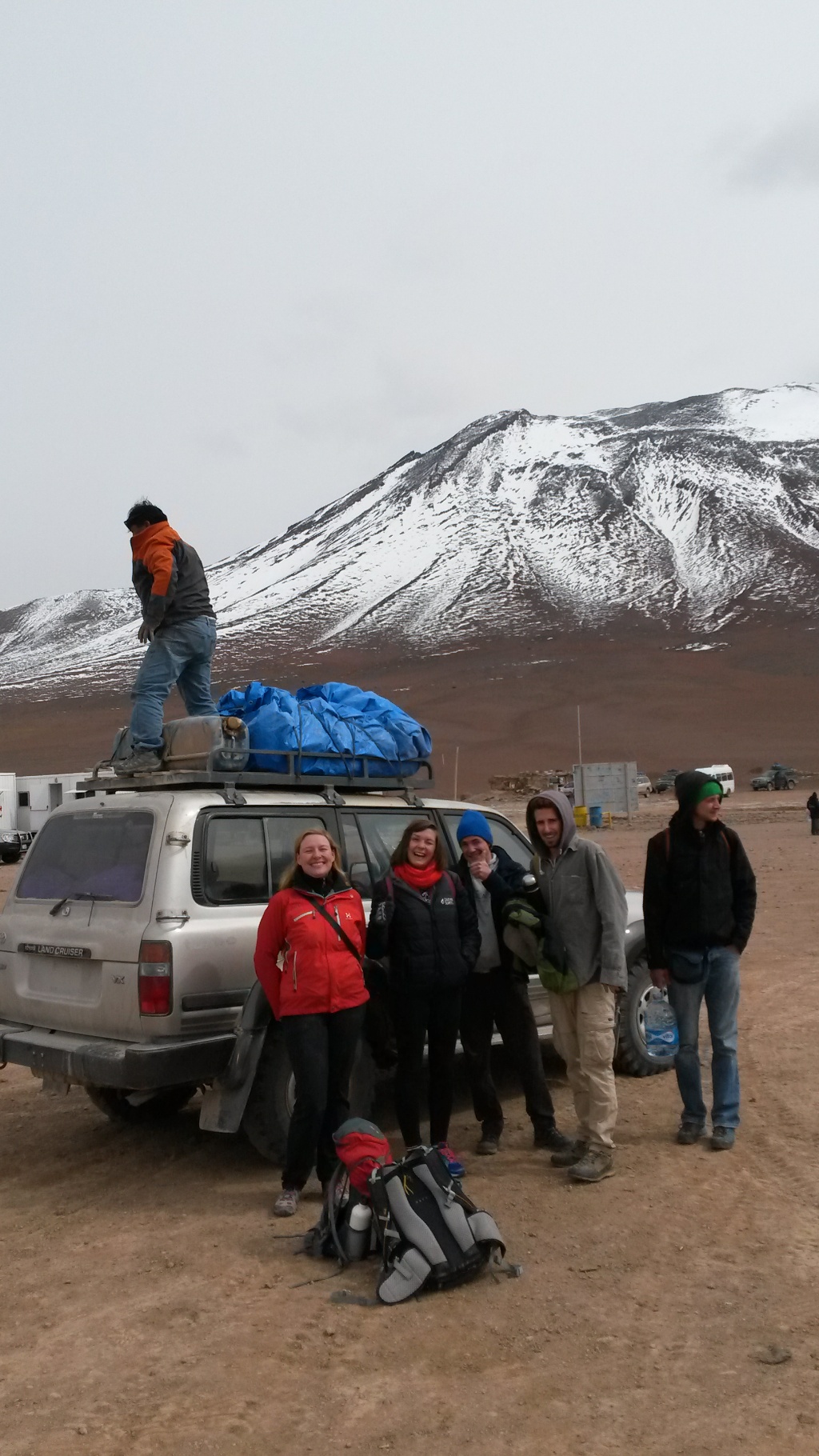
We, 17 people, most of whom I already knew because we’d stayed at the same hostel in San Pedro, hopped onto a bus just after sunrise at 7.30 am and were driven to the Chilean border control outside of San Pedro. Like all other vehicles we were to wait there for around two hours before allowed through, because there had been an accident somewhere on the road and also because it was likely to rain, which usually means that the steep dirt road connecting Chile with Bolivia would be closed.
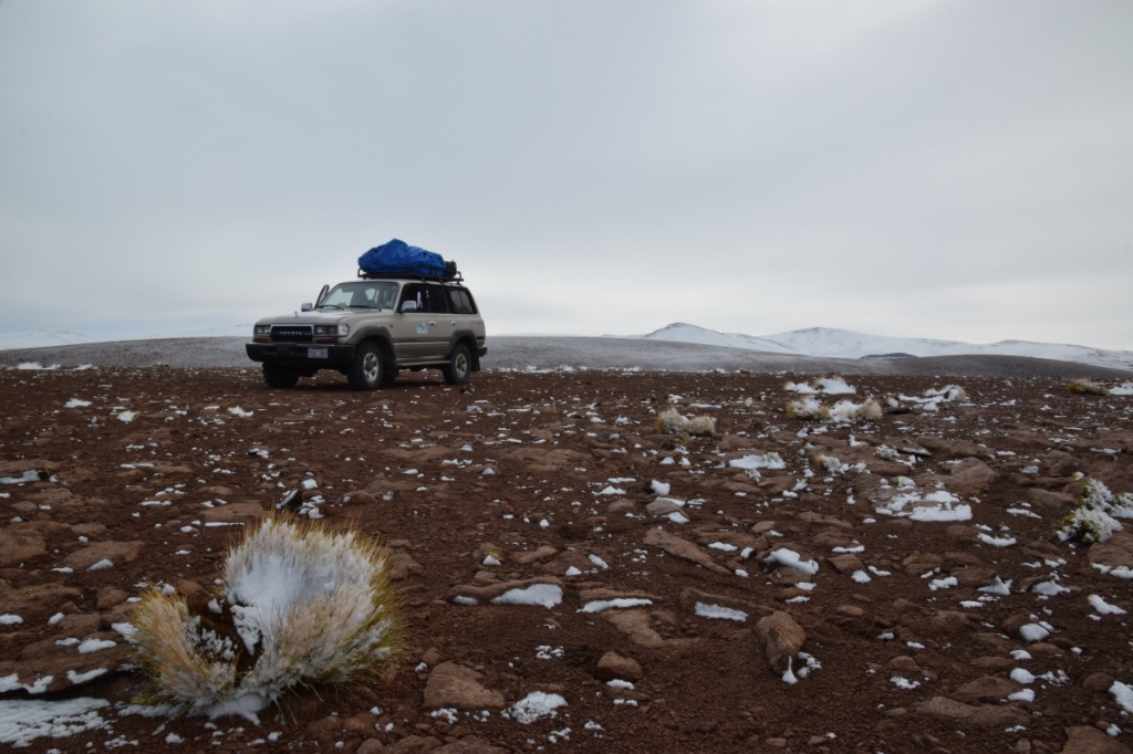
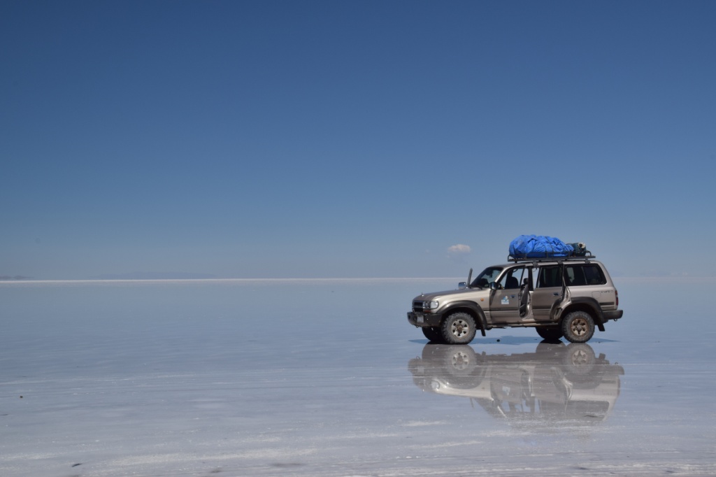
Finally, we were allowed to pass and for another hour or so we drove through no man’s land, passing the impressive Mt. Licancabur,  until we finally reached the Bolivian border control in the middle of nowhere. It was windy and cold – no wonder, we had reached 4900m above sea level! There is almost only tourists crossing the border at this point, as it’s a major tourist route along the Bolivian / Chilean border and into the famous Salar de Uyuni! Six people plus driver fit into each 4×4 and so we were split up. We were extremely lucky with our driver, as none of the horror scenarios we’d heard so much about came true! It all went smoothly, no breakdowns, no drinking, no skipping sites – Edgar was an experienced driver and (no offence) was quite friendly for a Bolivian…
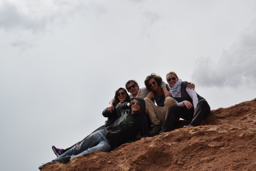
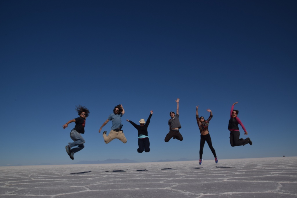
I am very glad that I agreed to take the tour a day earlier than planned, for I was rewarded with a great travelmate and friend. Thank you, Laura! Plus we had a great time with our fab four other Tour de Uyuni family members!
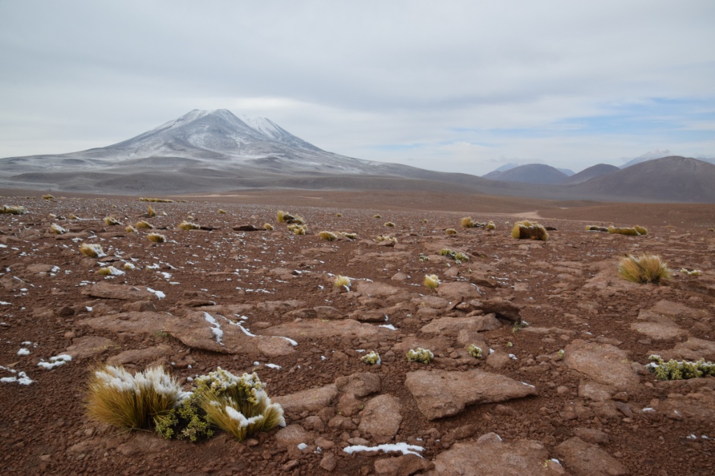
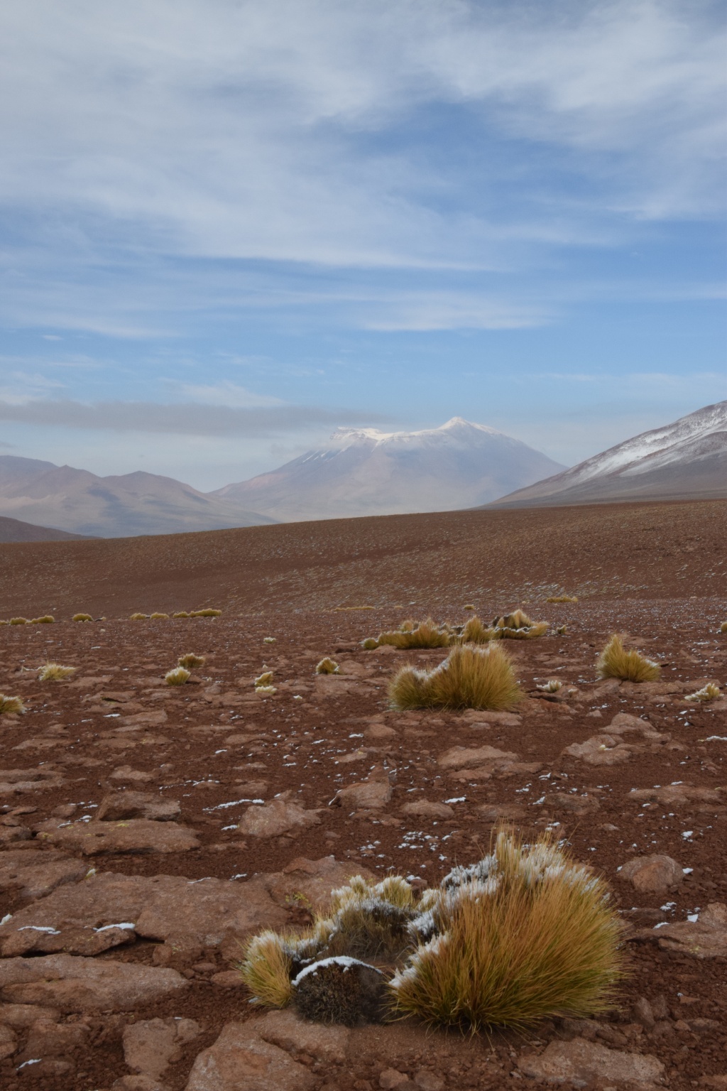
Three days of awesome scenery lay ahead of us:
Day 1)
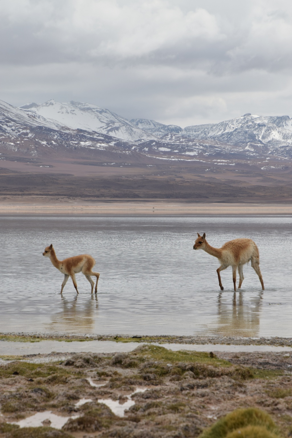
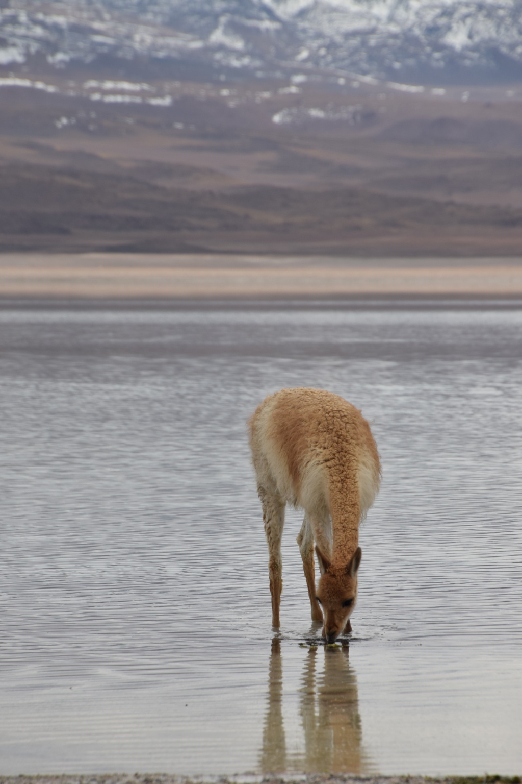
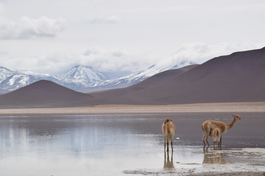
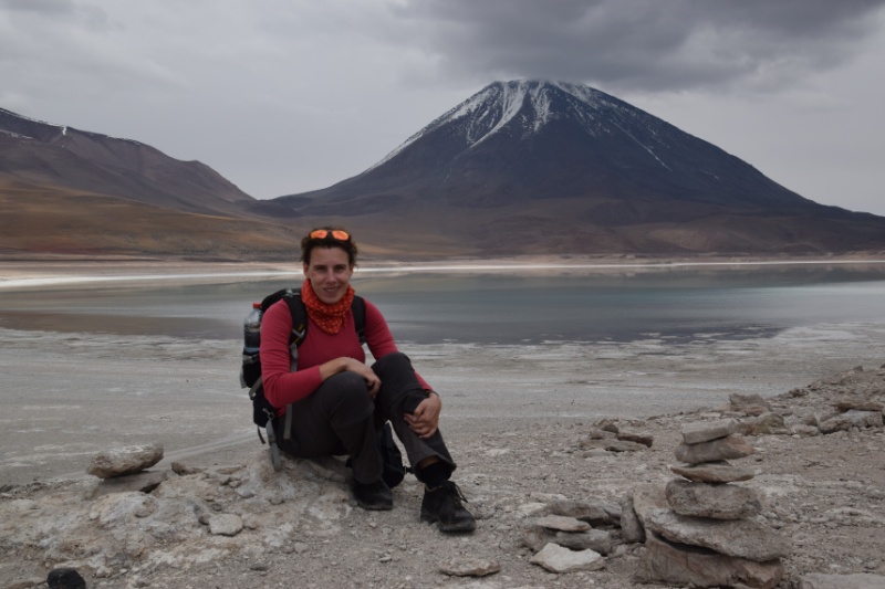
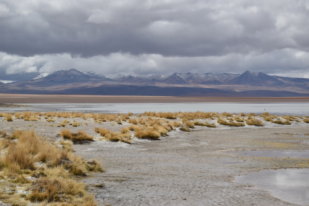
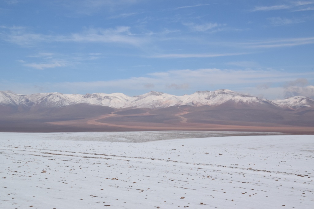
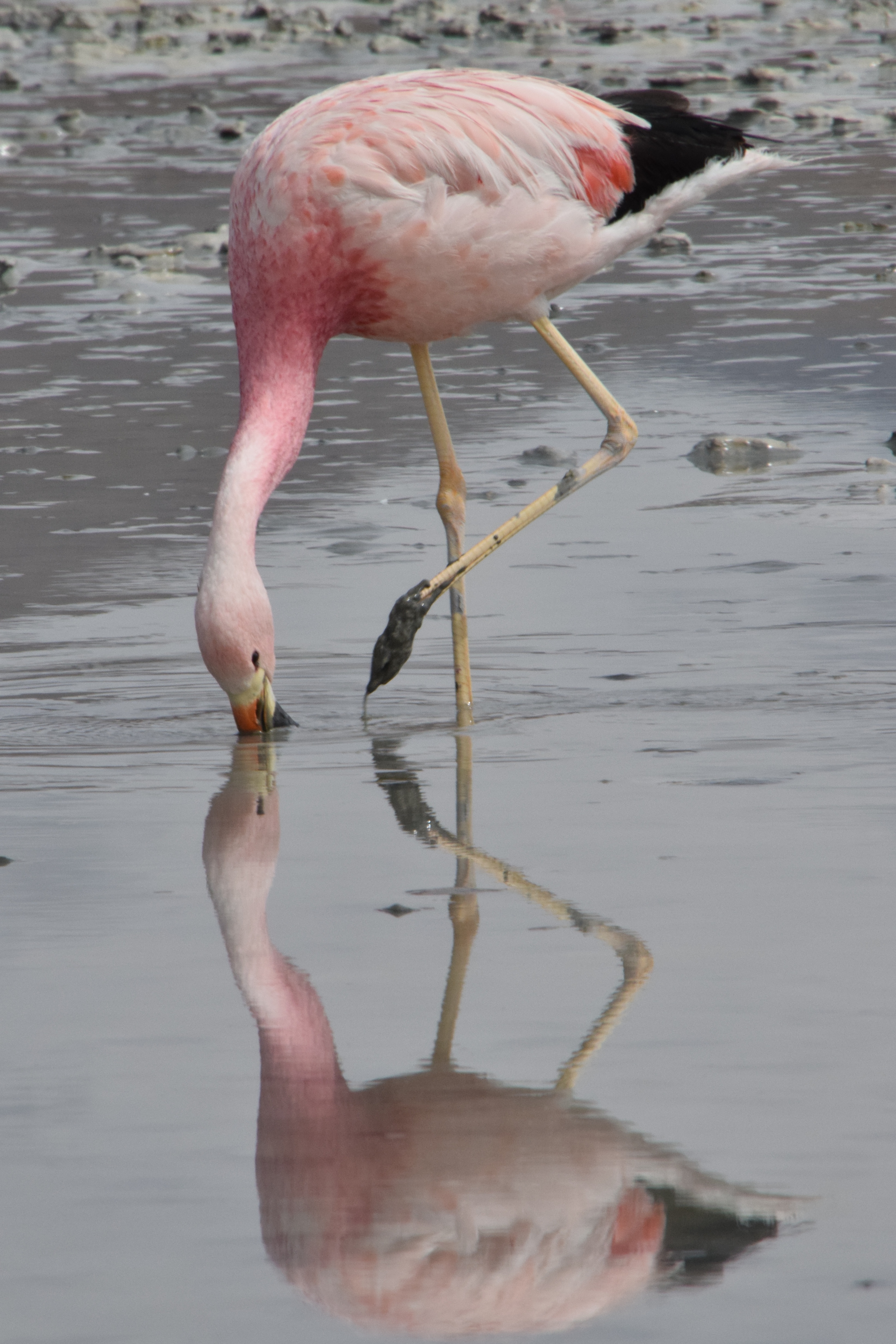
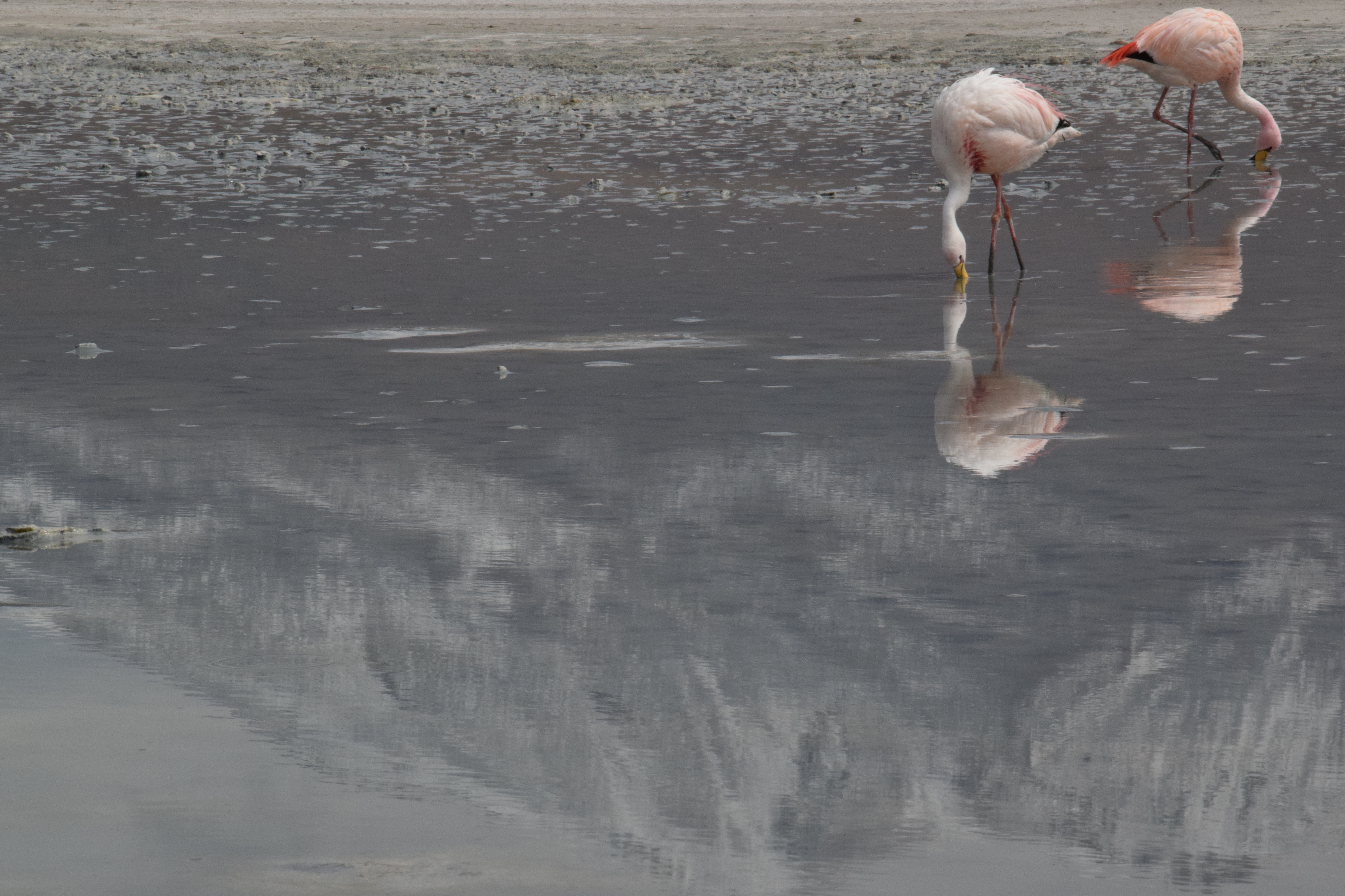
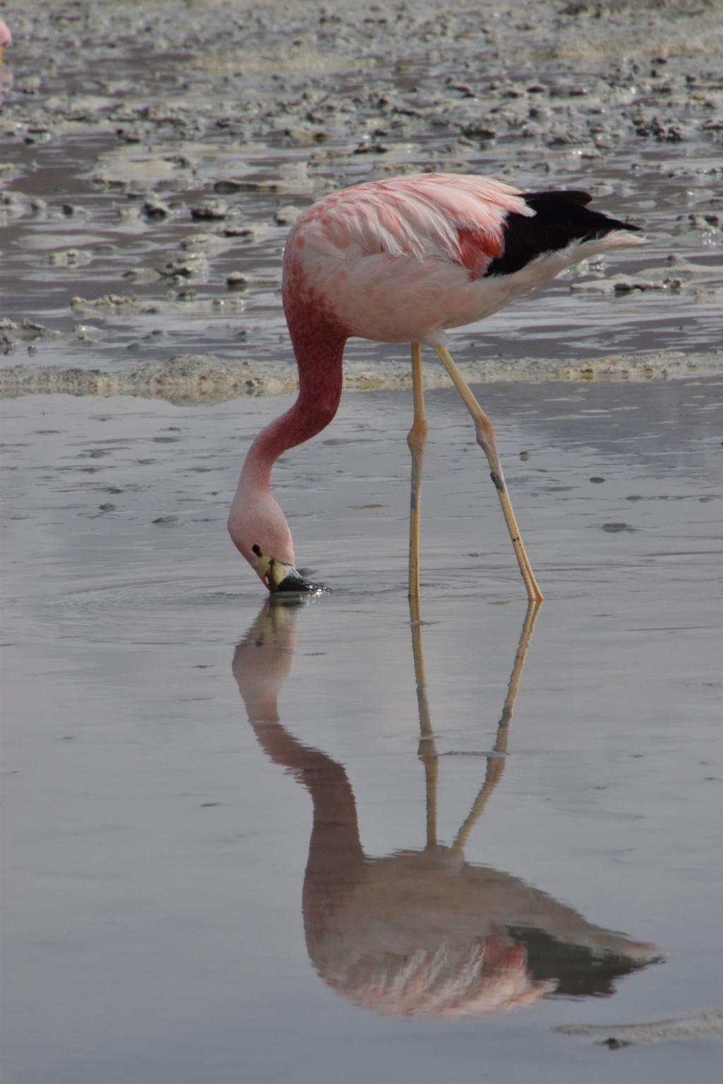
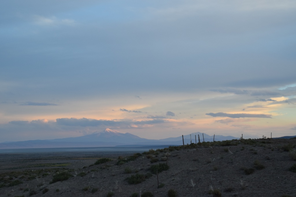
Laguna Blanca and Laguna Verde 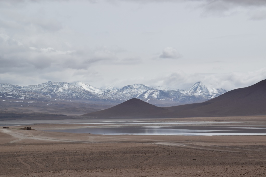


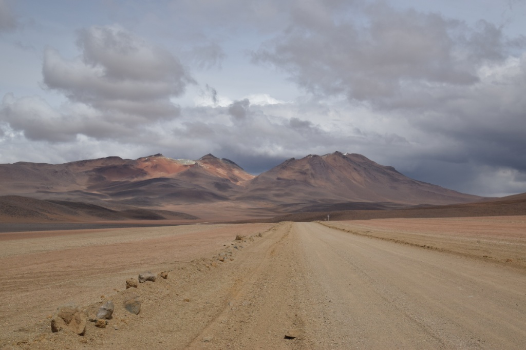
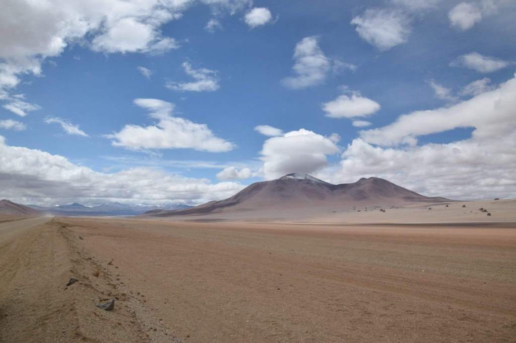
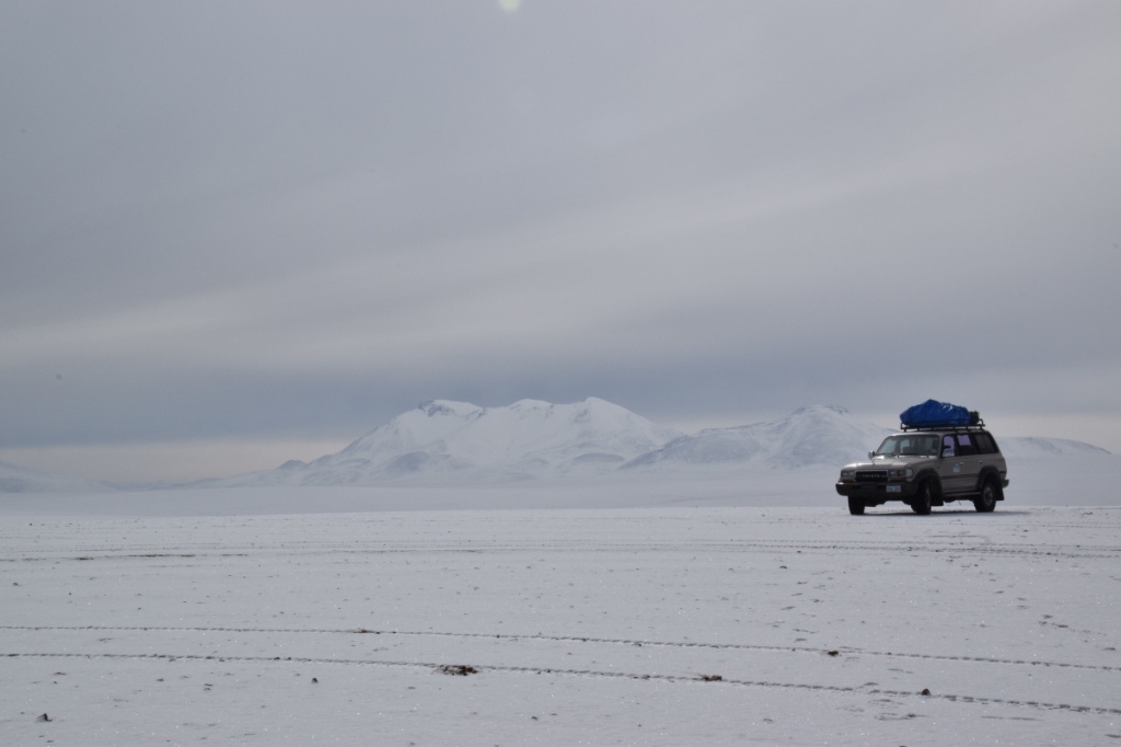
On the road


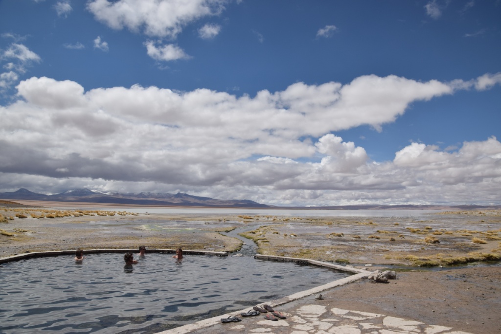
 Laguna Chalviri and hot springs
Geyser Sol de Mañana


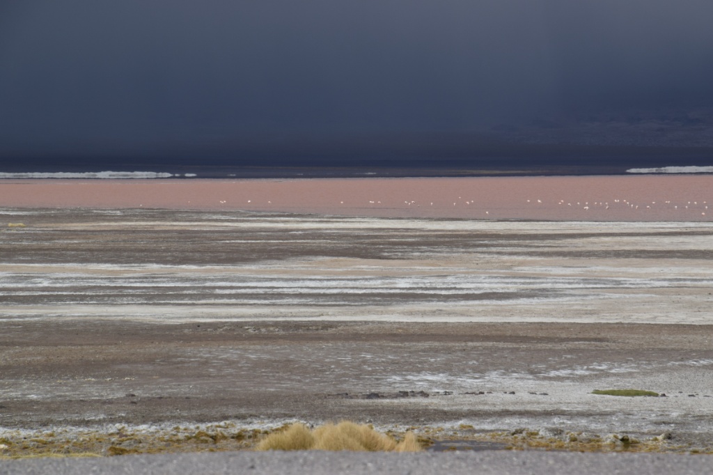
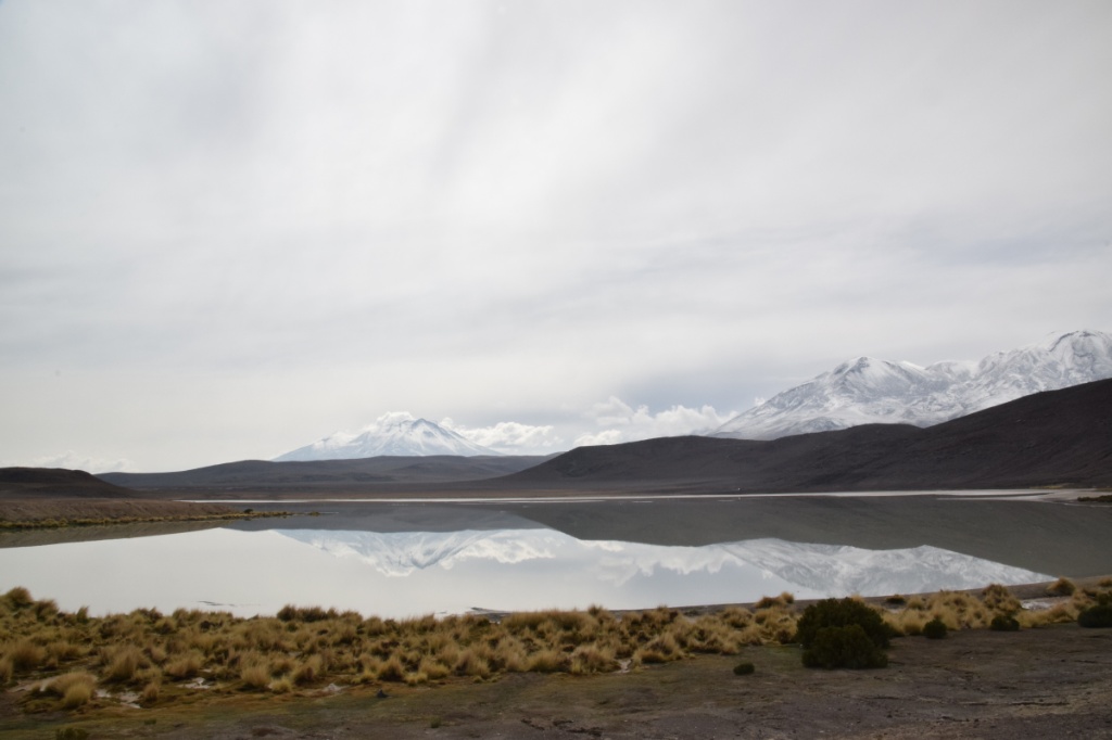
Laguna Colorada


It was bloody cold here. I was basically wearing everything I had: long John’s, trousers, rain trousers, short sleeve merino, long sleeve merino, merino jacket, doown west, rain jacket… the refugios at Laguna Colorada, where we spent our first night, are very simple. No showers, no heating. We really appreciated those extra sleeping bags on top of the three blankets. Outside, the temperature drops to -10° C at night!
Day 2)
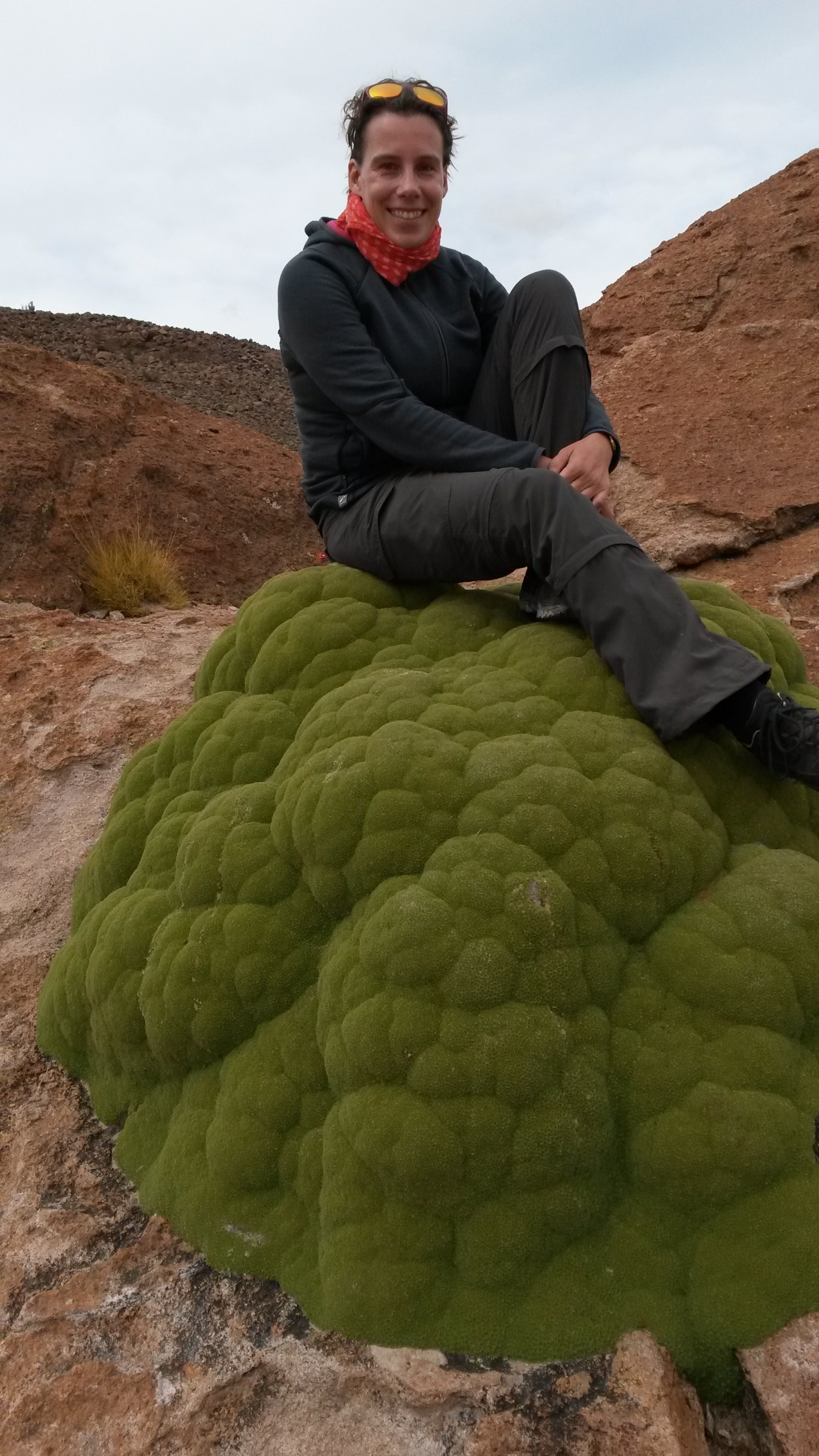
Stone Tree and other rock formations 
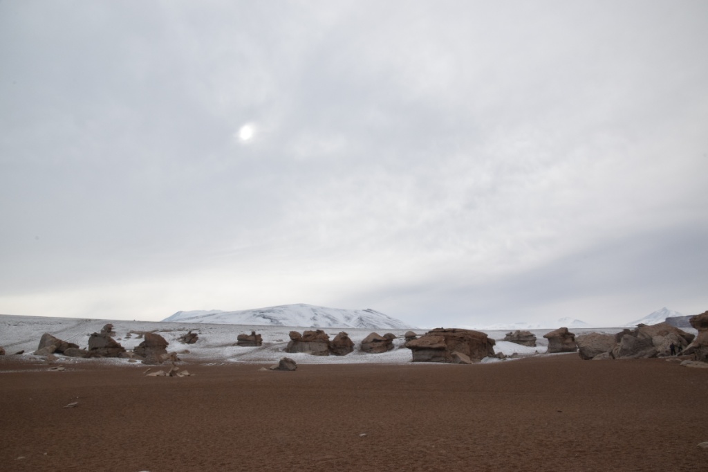
Cerros Pabelloncito and Agua de Perdiz

Laguna Honda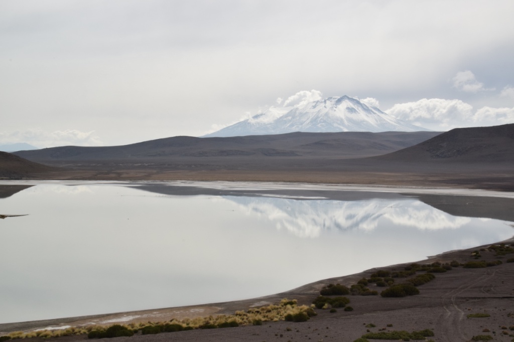
Laguna Hedionda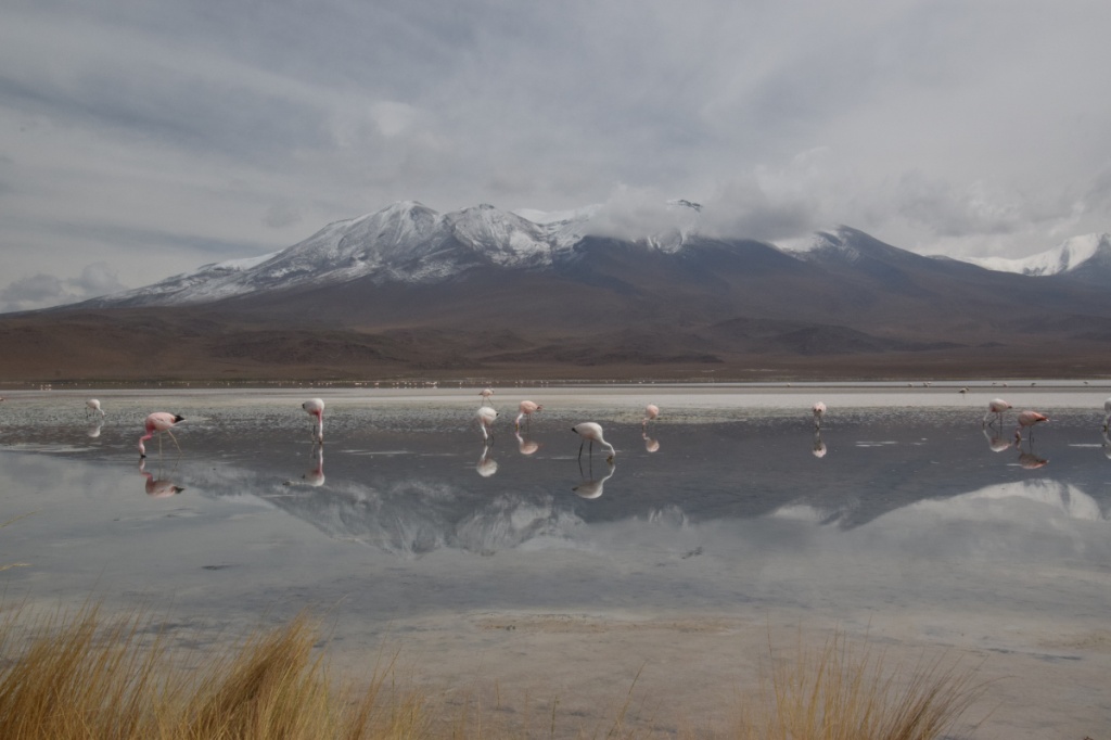


 Cerro Sedilla
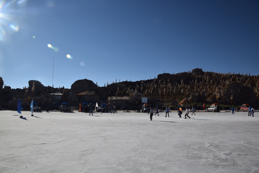
At the edge of the Salar (this night we spent at a more comfortable salt hotel)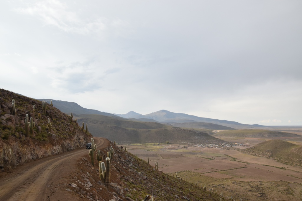
Day 3)
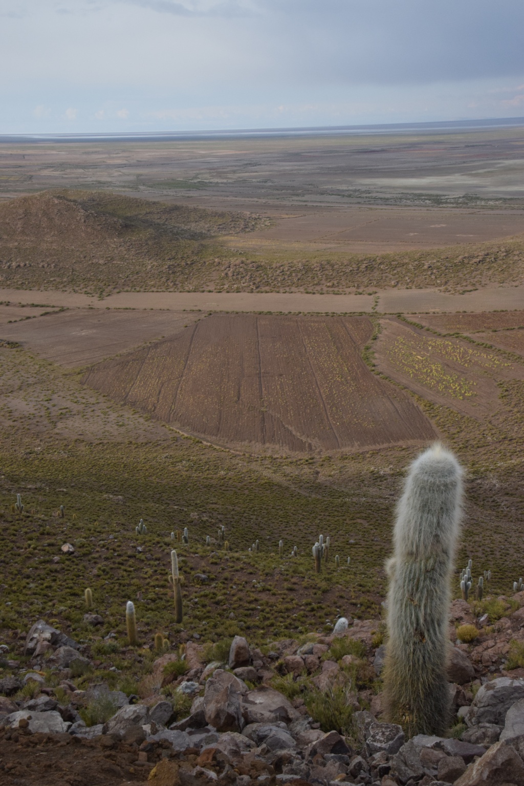
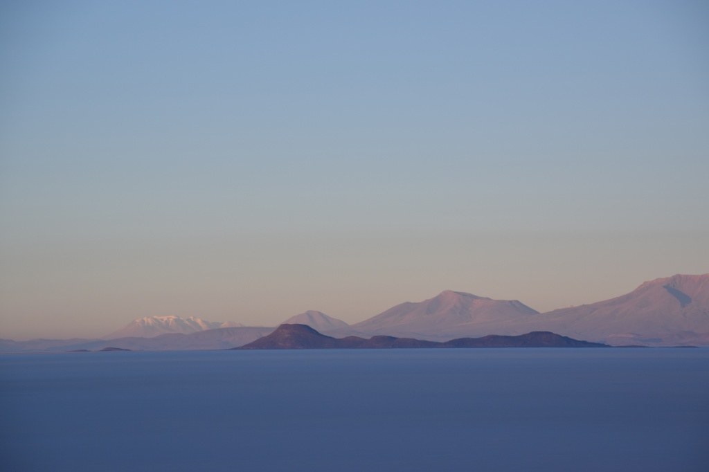
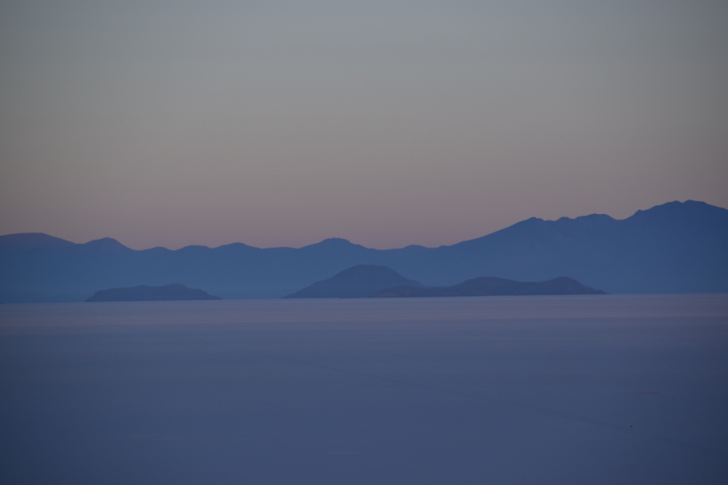
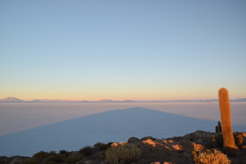
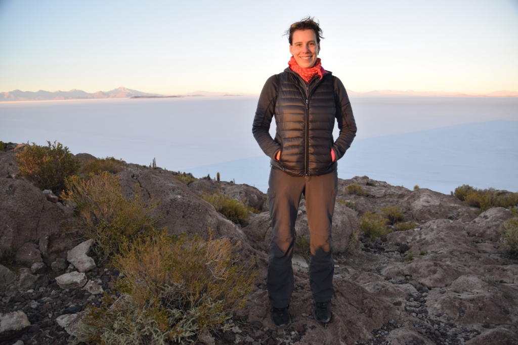
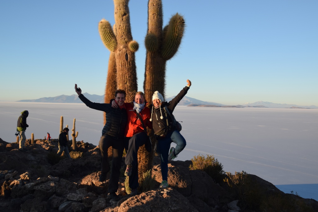
Isla Incahuasi – watching the sunset over Salar de Uyuni 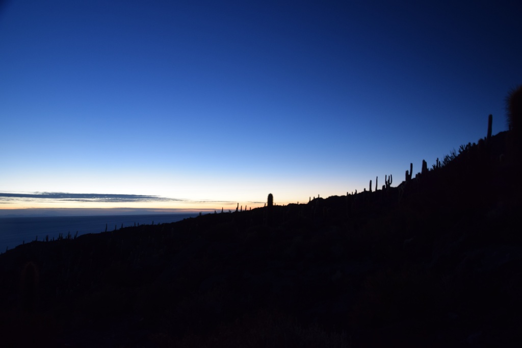


After breakfast activity : football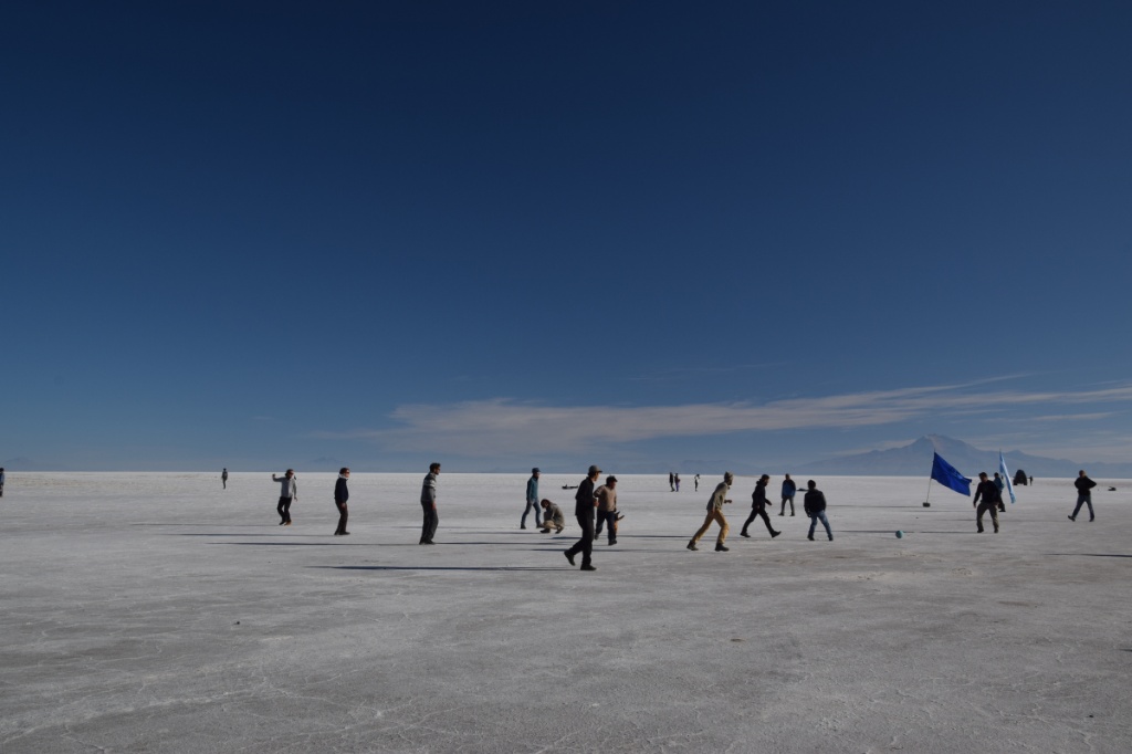
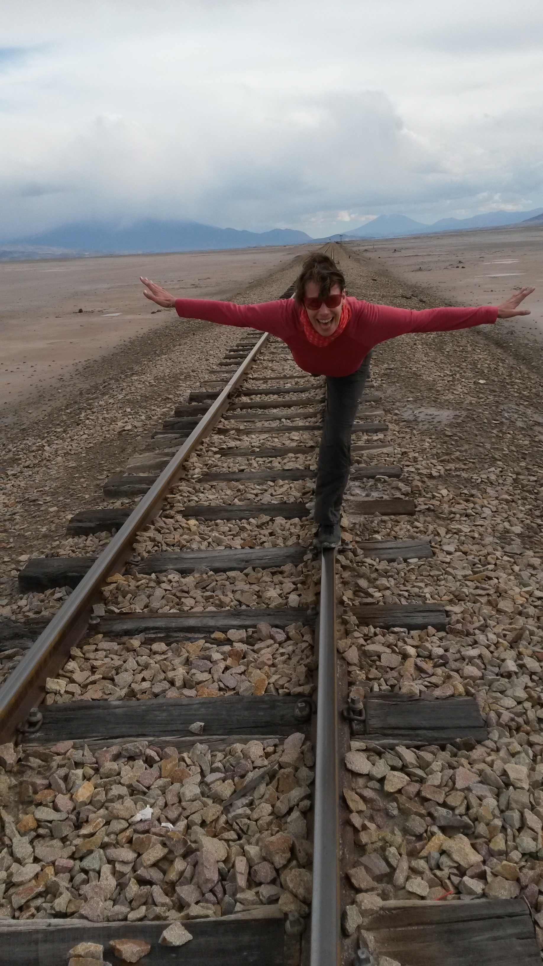
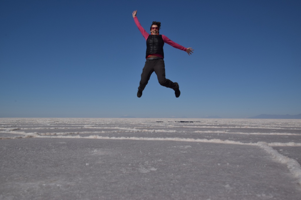
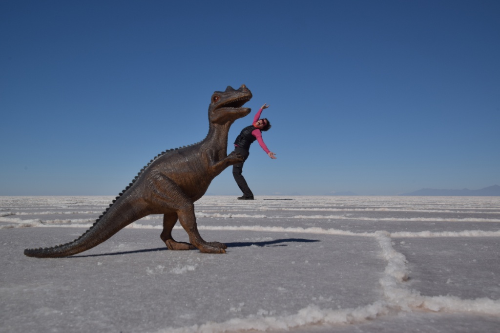
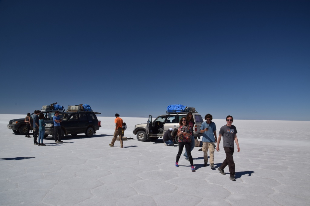
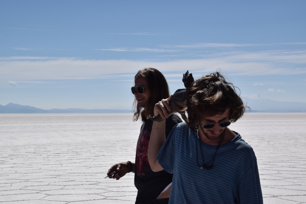
Making of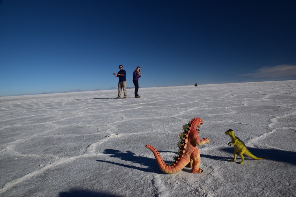
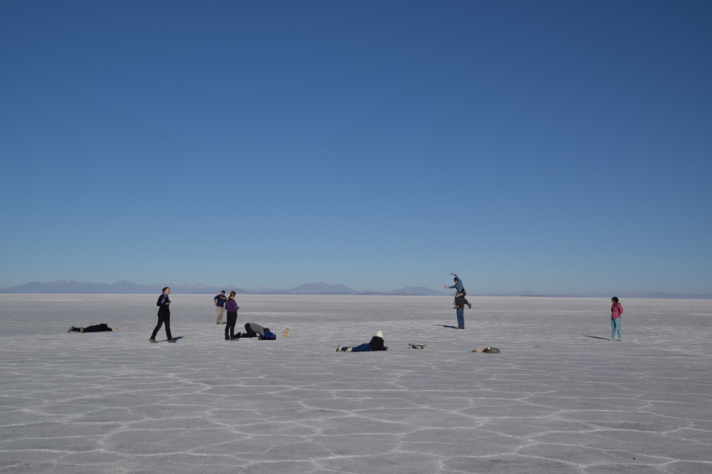
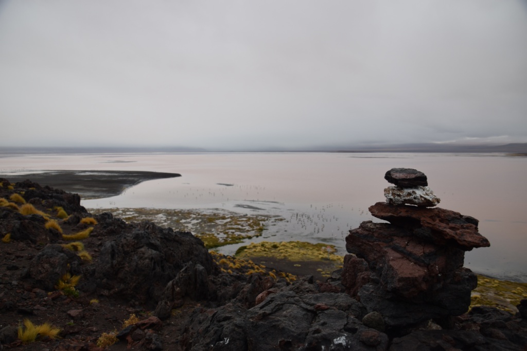
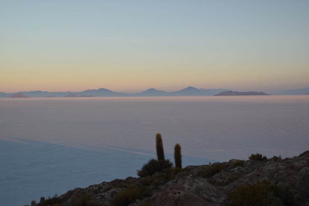
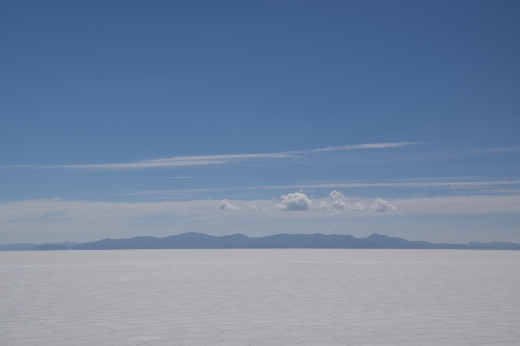
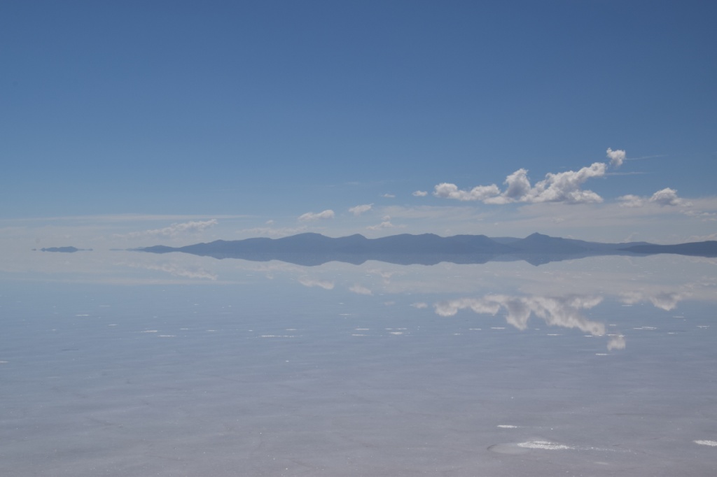
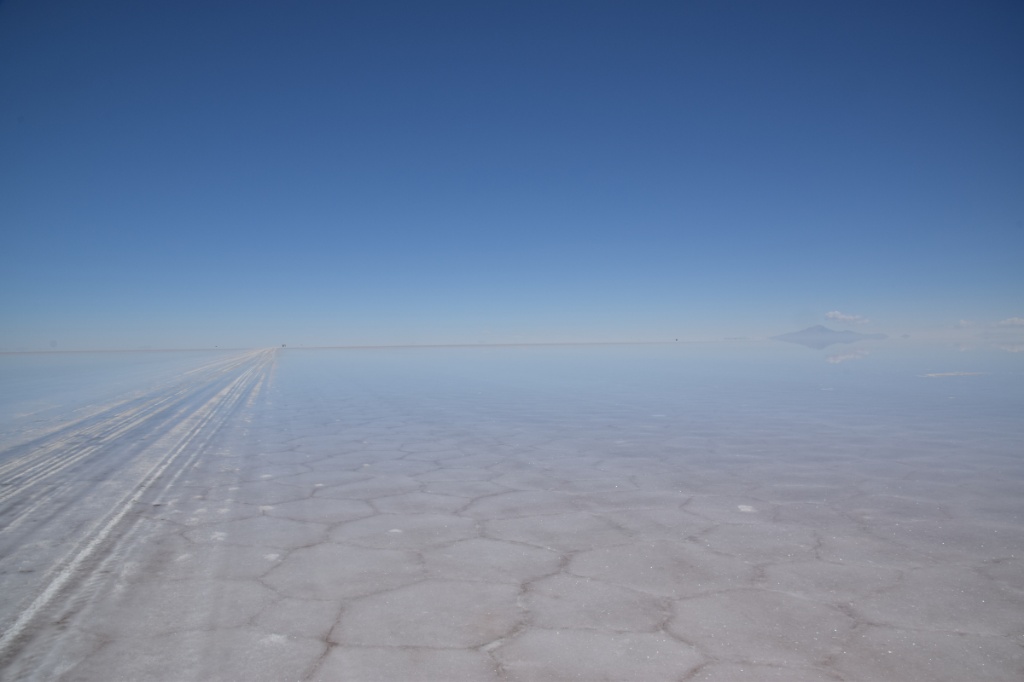
In the middle of the Salar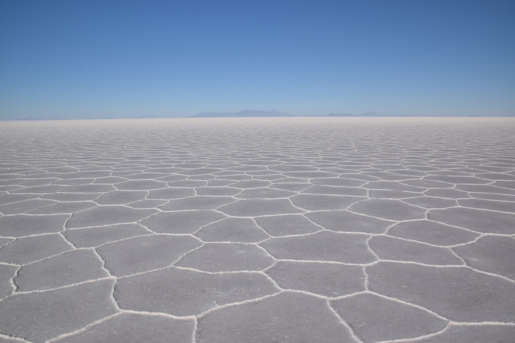


Salar covered by 3 cm of water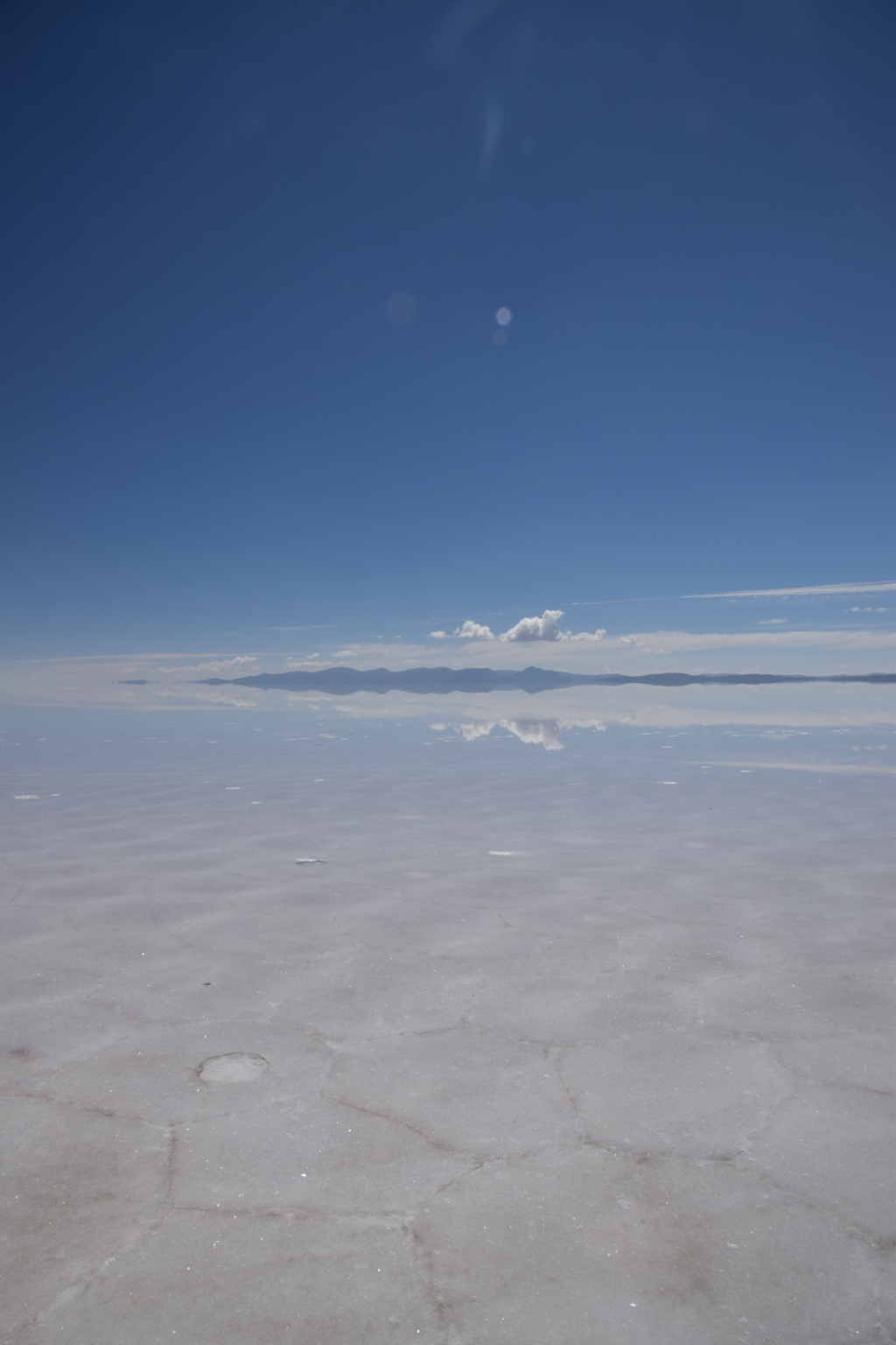

…it was a truly marvellous adventure!

You must be logged in to post a comment.